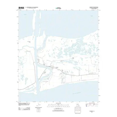
2012 Map of Cameron
USGS Topo · Published 2012About this map
Calcasieu Pass carves through the coastal marshlands of Cameron, Louisiana, where the river system meets the Gulf of Mexico. This coastal landscape is defined by the energy industry and maritime navigation, featuring the Calcasieu Light and extensive extraction zones like the West Cameron Gas Field and Calcasieu Pass Gas Field. The town itself is situated along the east bank, characterized by a grid of local streets such as School St, Ann St, and Dewey St.
Find a feature on this map
41 named features on this map. Tap any name to fly to it.
Don’t see what you’re looking for? This feature index may not catch every label — zoom into the map to look around manually.
Map Details
Editions of this 2012 Cameron Map
This is the sole edition of this map. No revisions or reprints were ever made.
Other maps of this area

1934 · Cameron
USGS Topo · 1:24,000

1934 · Holly Beach
USGS Topo · 1:24,000

1934 · Sweet Lake
USGS Topo · 1:24,000

1934 · Browns Lake
USGS Topo · 1:24,000

1934 · Grand Bayou
USGS Topo · 1:24,000

1935 · Cameron
USGS Topo · 1:31,680

1935 · Sweet Lake
USGS Topo · 1:31,680

1935 · Hackberry
USGS Topo · 1:31,680

1935 · Holly Beach
USGS Topo · 1:31,680

1935 · Grand Bayou
USGS Topo · 1:31,680