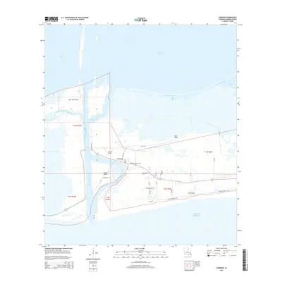
2015 Map of Cameron
USGS Topo · Published 2015About this map
Cameron serves as a vital maritime hub in this coastal landscape, situated where the Calcasieu Pass connects Calcasieu Lake to the Gulf Of Mexico. The settlement's layout is defined by its proximity to the water, with the Calcasieu Ship Channel cutting a deep path through the marshes to facilitate shipping. Local history is anchored by the Wakefield Memorial Cem and Our Lady Cem, while the Cameron Airstrip provides an essential link to the wider region.
Find a feature on this map
48 named features on this map. Tap any name to fly to it.
Don’t see what you’re looking for? This feature index may not catch every label — zoom into the map to look around manually.
Map Details
Editions of this 2015 Cameron Map
This is the sole edition of this map. No revisions or reprints were ever made.
Other maps of this area

1934 · Cameron
USGS Topo · 1:24,000

1934 · Holly Beach
USGS Topo · 1:24,000

1934 · Sweet Lake
USGS Topo · 1:24,000

1934 · Browns Lake
USGS Topo · 1:24,000

1934 · Grand Bayou
USGS Topo · 1:24,000

1935 · Cameron
USGS Topo · 1:31,680

1935 · Sweet Lake
USGS Topo · 1:31,680

1935 · Hackberry
USGS Topo · 1:31,680

1935 · Holly Beach
USGS Topo · 1:31,680

1935 · Grand Bayou
USGS Topo · 1:31,680