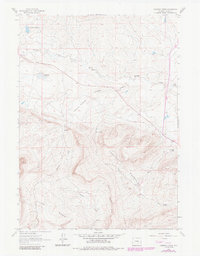
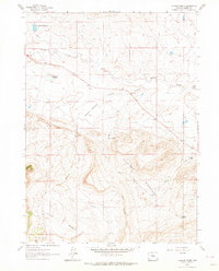
1961 Map of Cameron Creek
USGS Topo · Published 1985About this map
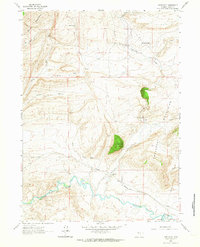
The Freezeout Mountains dominate this high-altitude landscape in Carbon County, where the stark transition from mountain peaks to the Little Basin floor is clearly mapped. The terrain is characterized by a network of drainage systems including Muddy Creek, Cameron Creek, and Smith Creek, which flow through the prominent Smith Creek Rim. In the northern portion of the quadrangle, the Shirley Basin Reservoir and the mineral-tinged waters of Red Lake (Alkali) highlight the area's hydrology. Human activity in this remote region is recorded through isolated cattle-ranching and homesteading operations, such as Shamrock Ranch and the Temperley Homestead. Industrial signatures are sparse but notable, including a Quarry on the slopes and a high-elevation Pipeline crossing the southern ridges near a Radio Tower, reflecting the 20th-century development of Wyoming's natural resources and infrastructure.
Find a feature on this map
16 named features on this map. Tap any name to fly to it.
Don’t see what you’re looking for? This feature index may not catch every label — zoom into the map to look around manually.
Map Details
Editions of this 1961 Cameron Creek Map
3 editions found
Other maps of this area

1955 · Casper
USGS Topo · 1:250,000

1958 · Casper
USGS Topo · 1:250,000

1959 · Moss Agate Reservoir
USGS Topo · 1:24,000

1960 · Wild Irish Reservoir
USGS Topo · 1:24,000

1960 · Measel Spring Reservoir
USGS Topo · 1:24,000
1961 · Pine Hill
USGS Topo · 1:24,000

1961 · T B Ranch
USGS Topo · 1:24,000
1961 · Windy Hill
USGS Topo · 1:24,000
1961 · Difficulty
USGS Topo · 1:24,000
1961 · Cameron Creek
USGS Topo · 1:24,000