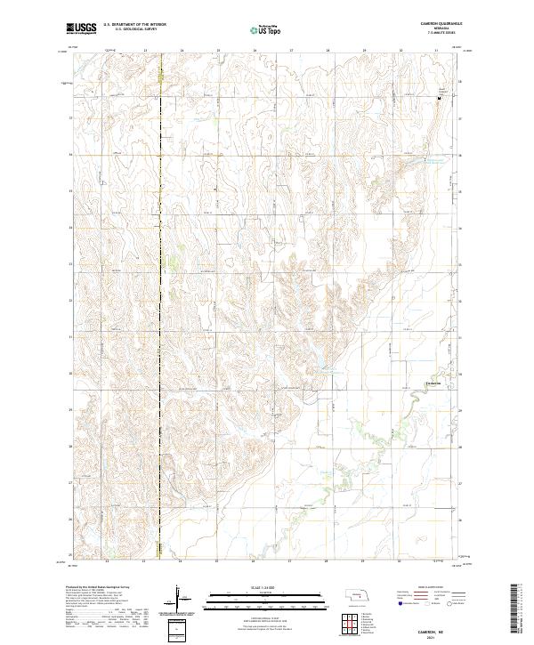
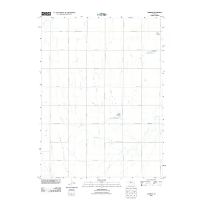
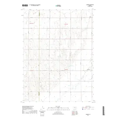
2021 Map of Cameron
USGS Topo · Published 2021About this map
The Hall and Buffalo county line bisects this agricultural landscape, where the settlement of Cameron sits in the eastern reaches of the sheet. The terrain is defined by a series of intermittent watercourses including Sweet Cr, Dry Cr, and Flash Cr, which drain toward the south and east. In the northeast corner, Mount Pleasant Cem provides a focal point for genealogical research, situated near the headwaters of Prairie Cr.
Find a feature on this map
39 named features on this map. Tap any name to fly to it.
Don’t see what you’re looking for? This feature index may not catch every label — zoom into the map to look around manually.
Map Details
Editions of this 2021 Cameron Map
This is the sole edition of this map. No revisions or reprints were ever made.
Historical Maps of Cameron Through Time
15 maps found
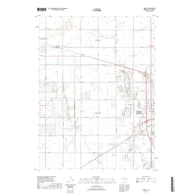
1962 Abbott
Hall County, NE
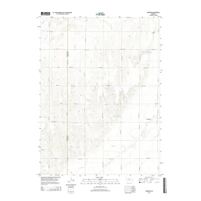
1962 Cameron
Hall County, NE
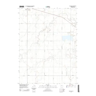
1962 Shelton NE
Hall County, NE
2011 Abbott
Hall County, NE
2011 Cameron
Hall County, NE
2011 Shelton NE
Hall County, NE
2014 Abbott
Hall County, NE
2014 Cameron
Hall County, NE
2014 Shelton NE
Hall County, NE
2017 Abbott
Hall County, NE
2017 Cameron
Hall County, NE
2017 Shelton NE
Hall County, NE
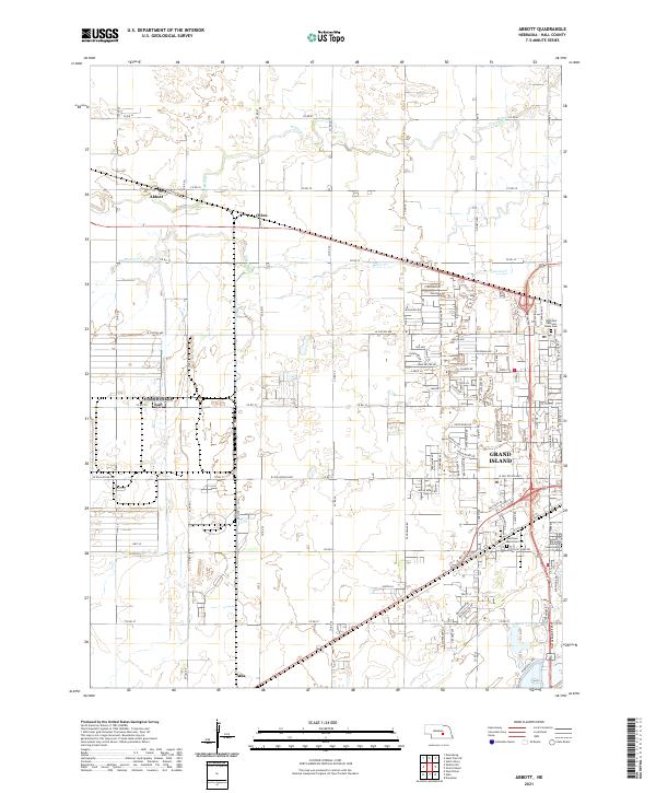
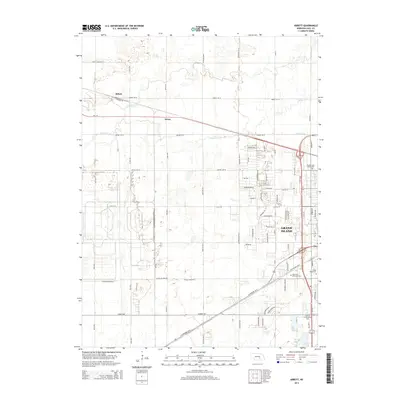
2021 Abbott
Hall County, NE
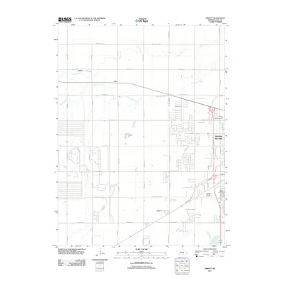
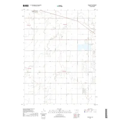
2021 Cameron
Hall County, NE
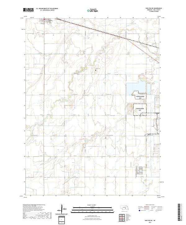
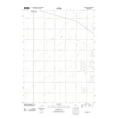
2021 Shelton NE
Hall County, NE