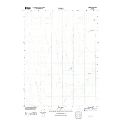
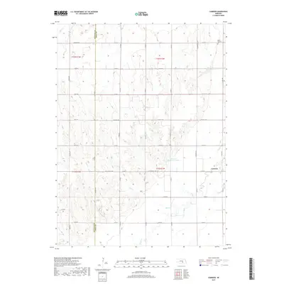
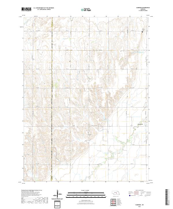
1962 Map of Cameron
USGS Topo · Published 1964About this map
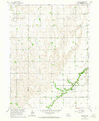
Prairie Creek meanders through the heart of the Nebraska prairie in this mid-century portrait of Cameron, where small schoolhouses and country churches define the rural landscape. This survey was conducted for the development of the Missouri River Basin, detailing a region reliant on its water sources like Flash Creek and Cherry Creek. The social fabric of the era is evident in the numbering of rural educational centers, including School No 62 and School No 14, which were vital hubs for the surrounding farming community. Beyond the scattered farmsteads, the map identifies local landmarks such as Mount Pleasant Cem and the Cameron Ch. The layout of the land reflects a period of intensive agricultural management, with numerous wells and field lines marking the transition between the rolling uplands and the fertile creek bottoms near South Loup.
Find a feature on this map
23 named features on this map. Tap any name to fly to it.
Don’t see what you’re looking for? This feature index may not catch every label — zoom into the map to look around manually.
Map Details
Editions of this 1962 Cameron Map
This is the sole edition of this map. No revisions or reprints were ever made.
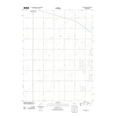
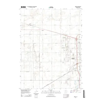
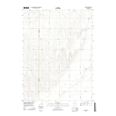
Historical Maps of Cameron Through Time
15 maps found
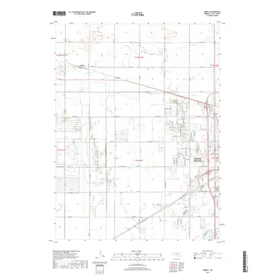
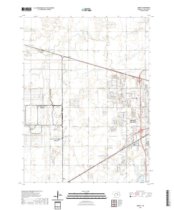
1962 Abbott
Hall County, NE
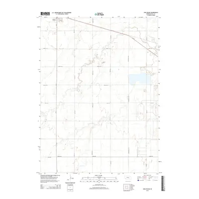
1962 Cameron
Hall County, NE
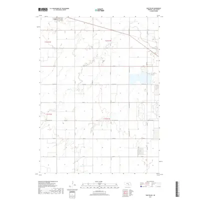
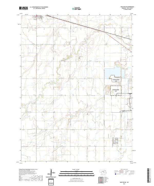
1962 Shelton NE
Hall County, NE
2011 Abbott
Hall County, NE
2011 Cameron
Hall County, NE
2011 Shelton NE
Hall County, NE
2014 Abbott
Hall County, NE
2014 Cameron
Hall County, NE
2014 Shelton NE
Hall County, NE
2017 Abbott
Hall County, NE
2017 Cameron
Hall County, NE
2017 Shelton NE
Hall County, NE
2021 Abbott
Hall County, NE
2021 Cameron
Hall County, NE
2021 Shelton NE
Hall County, NE