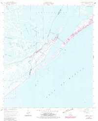
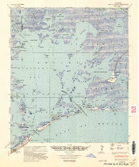
1957 Map of Caminada Pass
USGS Topo · Published 1980About this map
Cheniere Caminada and the western edge of Grand Isle dominate this coastal survey, where the Louisiana shoreline meets the Gulf of Mexico. The landscape is a intricate network of saltwater inlets and wetlands, including Lake Palourde and Lake Laurier. A transition in coastal development is evident through the 1970s revisions, which show building clusters and a Trailer Park near the strategically important Caminada Pass.
Find a feature on this map
25 named features on this map. Tap any name to fly to it.
Don’t see what you’re looking for? This feature index may not catch every label — zoom into the map to look around manually.
Map Details
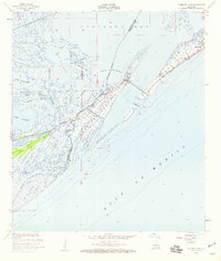
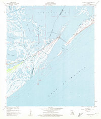
Editions of this 1957 Caminada Pass Map
3 editions found
Other maps of this area

1892 · Cheniere Caminada
USGS Topo · 1:62,500

1892 · Creole
USGS Topo · 1:62,500

1893 · Fort Livingston
USGS Topo · 1:62,500

1935 · Mink Bayou
USGS Topo · 1:31,680

1935 · Leeville
USGS Topo · 1:31,680

1945 · New Orleans
USGS Topo · 1:250,000

1945 · Leeville
USGS Topo · 1:31,680
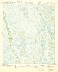
1946 · Mink Bayou
USGS Topo · 1:31,680

1947 · Caminada Pass
USGS Topo · 1:31,680
1948 · Fort Livingston
USGS Topo · 1:62,500