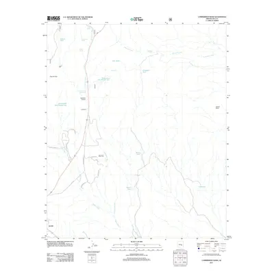
2011 Map of Cammerman Wash
USGS Topo · Published 2011About this map
Globe and its northern rural reaches are defined by a network of ephemeral watercourses and vital livestock infrastructure in this early 21st-century record. The landscape is carved by Cammerman Wash and Ramboz Wash, leading toward the northern peaks of Quartzite Peak and the prominent Granite Butte. Settlement is sparse outside the primary town, though the presence of Jones Ranch and Lewis Mill indicates a history of resource extraction and ranching. The importance of water management in this arid environment is evident from the numerous catchment tanks, including Butta Tank, Hayes Tank, and Scarborough Tank Number One. Public activity centers on the Gila County Fairgrounds, located along the modern road network near the junction of Fairgrounds Rd and Kachina Trl. This survey captures a moment where ranching heritage and community infrastructure meet the high desert terrain.
Find a feature on this map
30 named features on this map. Tap any name to fly to it.
Don’t see what you’re looking for? This feature index may not catch every label — zoom into the map to look around manually.
Map Details
Editions of this 2011 Cammerman Wash Map
This is the sole edition of this map. No revisions or reprints were ever made.
Other maps of this area
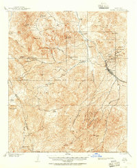
1901 · Globe
USGS Topo · 1:62,500
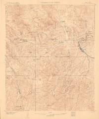
1902 · Globe
USGS Topo · 1:62,500
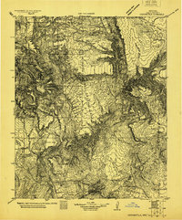
1922 · Chrysotile
USGS Topo · 1:125,000
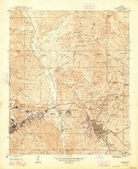
1945 · Globe
USGS Topo · 1:24,000
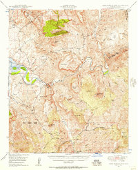
1949 · Rockinstraw Mtn
USGS Topo · 1:62,500
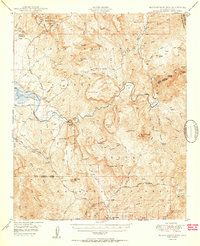
1950 · Rockinstraw Mtn
USGS Topo · 1:62,500
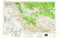
1954 · Mesa
USGS Topo · 1:250,000
1957 · Mesa
USGS Topo · 1:250,000
1958 · Mesa
USGS Topo · 1:250,000
1960 · Mesa
USGS Topo · 1:250,000