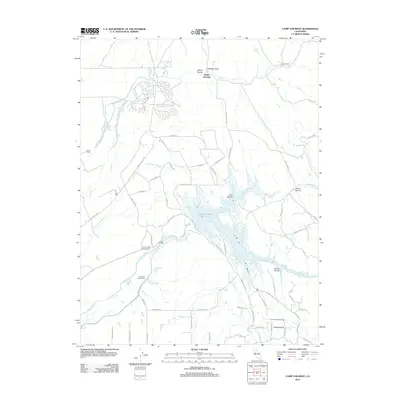
2012 Map of Camp Far West
USGS Topo · Published 2012About this map
Camp Far West Reservoir serves as the central focal point for this 2012 survey, where the waters of the Bear River are impounded within a landscape defined by deep ravines and seasonal sloughs. The map highlights the intersection of modern recreation and regional history, clearly marking the Camp Far West Historic Site near the river's path. Local settlement patterns are visible at Waldo Junction, Spenceville, and Thermalands, while the presence of the Camp Far West Ditch underscores the long-standing importance of water management for agricultural operations like the Camp Far West Ranch. Genealogists and local historians can locate the Lofton Cem on the western edge of the quadrangle, tucked away from the main thoroughfares. The terrain is notably etched by features such as Albion Ravine, Long Ravine, and the curiously named Cabbage Patch.
Find a feature on this map
60 named features on this map. Tap any name to fly to it.
Don’t see what you’re looking for? This feature index may not catch every label — zoom into the map to look around manually.
Map Details
Editions of this 2012 Camp Far West Map
This is the sole edition of this map. No revisions or reprints were ever made.
Other maps of this area

1888 · Smartsville
USGS Topo · 1:125,000

1891 · Sacramento
USGS Topo · 1:125,000

1891 · Smartsville
USGS Topo · 1:125,000

1892 · Sacramento
USGS Topo · 1:125,000

1892 · Smartsville
USGS Topo · 1:125,000

1893 · Sacramento
USGS Topo · 1:125,000

1894 · Smartsville
USGS Topo · 1:125,000

1895 · Smartsville
USGS Topo · 1:125,000

1910 · Sheridan
USGS Topo · 1:31,680

1910 · Lincoln
USGS Topo · 1:31,680