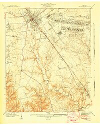
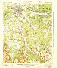
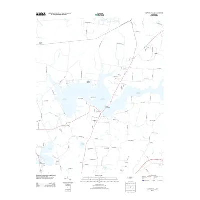
1941 Map of Camp Forrest
USGS Topo · Published 1943About this map
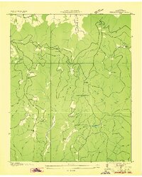
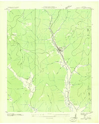
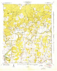
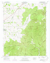
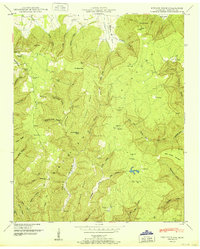
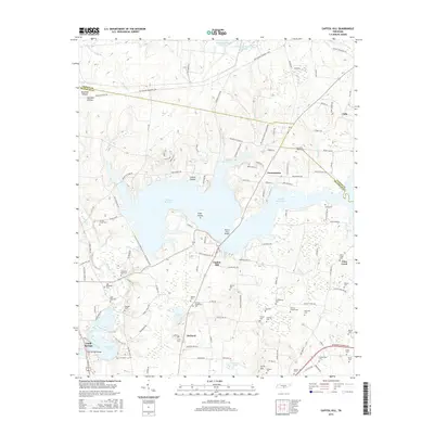
Camp Forrest Military Reservation dominates the eastern landscape of this early 1940s survey, showing the rapid expansion of defense infrastructure just before the United States' full entry into World War II. The map details the massive grid of the Camp Forrest Headquarters, including its Filtration Plant and Disposal Plant, positioned adjacent to the established hub of Tullahoma. South of the military grounds, the terrain drops toward the Elk River and the settlement of Estill Springs, where the Nashville Chattanooga and St Louis railroad provides a vital transit corridor.
Find a feature on this map
59 named features on this map. Tap any name to fly to it.
Don’t see what you’re looking for? This feature index may not catch every label — zoom into the map to look around manually.
Map Details
Editions of this 1941 Camp Forrest Map
2 editions found
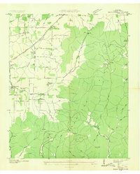
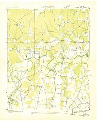
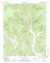
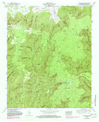
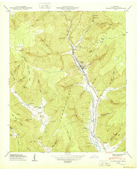
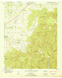
Historical Maps of Tullahoma Through Time
35 maps found
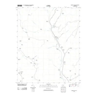
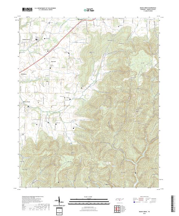
1936 Beans Creek
Franklin County, TN

1936 Camp Peay
Franklin County, TN
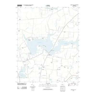
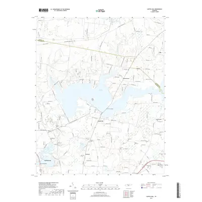
1936 Capitol Hill
Franklin County, TN
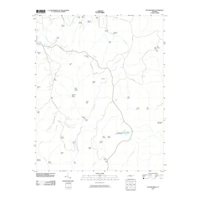
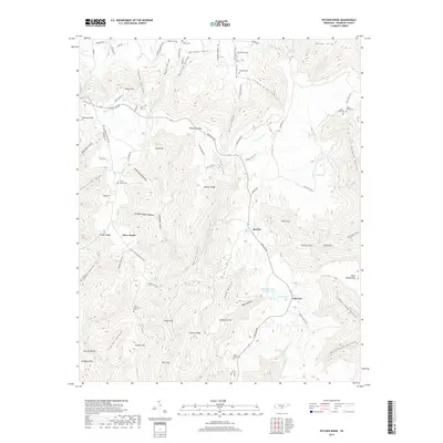
1936 Pitcher Ridge
Franklin County, TN
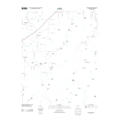
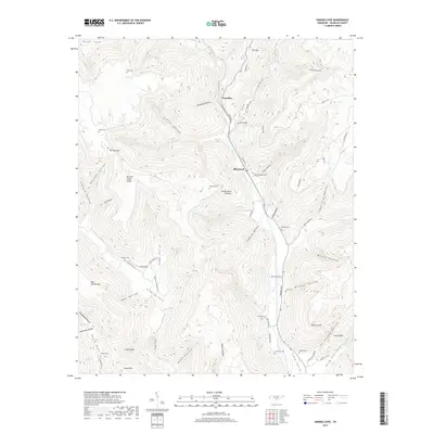
1936 Sinking Cove
Franklin County, TN
1941 Camp Forrest
Franklin County, TN
1941 Capitol Hill
Franklin County, TN
1947 Sinking Cove
Franklin County, TN
1948 Beans Creek
Franklin County, TN
1948 Pitcher Ridge
Franklin County, TN
1950 Sinking Cove
Franklin County, TN
1951 Beans Creek
Franklin County, TN
1951 Pitcher Ridge
Franklin County, TN
1962 Capitol Hill
Franklin County, TN
1972 Capitol Hill
Franklin County, TN
2010 Beans Creek
Franklin County, TN
2010 Capitol Hill
Franklin County, TN
2010 Pitcher Ridge
Franklin County, TN
2010 Sinking Cove
Franklin County, TN
2013 Beans Creek
Franklin County, TN
2013 Capitol Hill
Franklin County, TN
2013 Pitcher Ridge
Franklin County, TN
2013 Sinking Cove
Franklin County, TN
2016 Beans Creek
Franklin County, TN
2016 Capitol Hill
Franklin County, TN
2016 Pitcher Ridge
Franklin County, TN
2016 Sinking Cove
Franklin County, TN
2019 Beans Creek
Franklin County, TN
2019 Capitol Hill
Franklin County, TN
2019 Pitcher Ridge
Franklin County, TN
2019 Sinking Cove
Franklin County, TN
2022 Beans Creek
Franklin County, TN
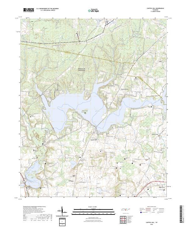
2022 Capitol Hill
Franklin County, TN
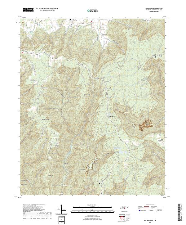
2022 Pitcher Ridge
Franklin County, TN

2022 Sinking Cove
Franklin County, TN