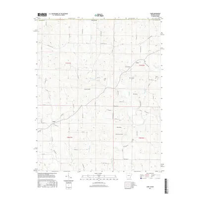
2017 Map of Camp
USGS Topo · Published 2017About this map
Camp and Fryatt anchor this section of Fulton County, where the topography is defined by a dense network of hollows and seasonal stream branches. The landscape is carved by Myatt Cr and its tributaries, including Mill Cr and Elm Spring Br, creating a pattern of ridges and deep notches such as Thornton Hollow and Glass Hollow. These natural features likely dictated the winding paths of the local road system, including Pleasant Valley Rd and Missouri Line Rd.
Find a feature on this map
77 named features on this map. Tap any name to fly to it.
Don’t see what you’re looking for? This feature index may not catch every label — zoom into the map to look around manually.
Map Details
Editions of this 2017 Camp Map
This is the sole edition of this map. No revisions or reprints were ever made.
Other maps of this area

1943 · Thayer
USGS Topo · 1:62,500

1944 · West Plains
USGS Topo · 1:62,500

1946 · Thayer
USGS Topo · 1:62,500

1946 · West Plains
USGS Topo · 1:62,500

1950 · Salem
USGS Topo · 1:62,500

1951 · Salem
USGS Topo · 1:62,500

1957 · Poplar Bluff
USGS Topo · 1:250,000

1959 · Poplar Bluff
USGS Topo · 1:250,000

1960 · Poplar Bluff
USGS Topo · 1:250,000

1962 · Stuart
USGS Topo · 1:24,000