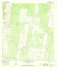
1965 Map of Camp Garcia
USGS Topo · Published 1968About this map
The heavy industrialization of the South Texas landscape is evident in this mid-1960s survey, where petroleum and natural gas infrastructure dominate the terrain. Six distinct production zones define the region, including the Rincon Oil Field, Davenport Oil Field, and the Yturria Oil Field. The surveyor's notes reveal a complex network of pipelines, pumping stations, and well sites that override the natural contours of the brushland.
Find a feature on this map
19 named features on this map. Tap any name to fly to it.
Don’t see what you’re looking for? This feature index may not catch every label — zoom into the map to look around manually.
Map Details
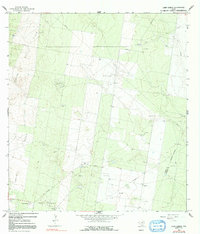
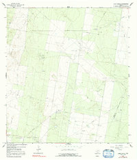
Editions of this 1965 Camp Garcia Map
3 editions found
Other maps of this area

1938 · Sal Colorada
USGS Topo · 1:62,500

1939 · La Reforma
USGS Topo · 1:62,500

1940 · Monte Christo
USGS Topo · 1:62,500

1949 · Mc Allen
USGS Topo · 1:250,000

1954 · McAllen
USGS Topo · 1:250,000

1956 · Garcias
USGS Topo · 1:62,500

1957 · Mc Allen
USGS Topo · 1:250,000

1962 · McAllen
USGS Topo · 1:250,000

1963 · Citrus City
USGS Topo · 1:24,000
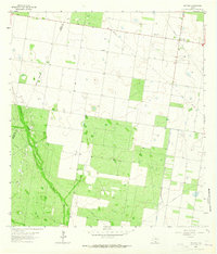
1963 · McCook
USGS Topo · 1:24,000