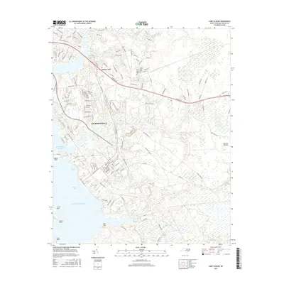
2016 Map of Camp Lejeune
USGS Topo · Published 2016About this map
The coastal landscapes of Onslow County are defined by the intricate waterways of Jacksonville and the expansive military installation grounds. Situated along the Atlantic Ocean and the shores of Farnell Bay, this area transitions from the urban street grids of the county seat to the marshy lowlands of Starretts Meadows. The map reveals the critical integration of maritime and terrestrial features, with significant drainage systems like Wallace Cr, Beaverdam Cr, and Jumping Run threading through the terrain.
Find a feature on this map
152 named features on this map. Tap any name to fly to it.
Don’t see what you’re looking for? This feature index may not catch every label — zoom into the map to look around manually.
Map Details
Editions of this 2016 Camp Lejeune Map
This is the sole edition of this map. No revisions or reprints were ever made.
Other maps of this area

1942 · Maysville
USGS Topo · 1:62,500

1942 · Swansboro
USGS Topo · 1:62,500

1943 · Jacksonville
USGS Topo · 1:62,500

1948 · Maysville
USGS Topo · 1:62,500

1948 · Swansboro
USGS Topo · 1:62,500

1948 · New River
USGS Topo · 1:62,500

1952 · Hubert
USGS Topo · 1:24,000

1952 · Camp Lejeune
USGS Topo · 1:24,000

1952 · Jacksonville South
USGS Topo · 1:24,000

1952 · Browns Inlet
USGS Topo · 1:24,000
Featured Places
- Jacksonville, NC
- Piney Green, Jacksonville
- Holiday Mobile Home City, Jacksonville
- Marine Corps Base Camp Lejeune, NC
- Pinewood Downs, Jacksonville