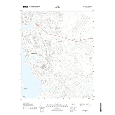
2019 Map of Camp Lejeune
USGS Topo · Published 2019About this map
Jacksonville and the expansive military installation of Camp Lejeune dominate this 2019 coastal survey, showcasing the dense residential and administrative layout of Midway Park and Piney Green. The landscape is defined by the broad waters of the New River, which feeds into Farnell Bay and Morgan Bay, creating a complex shoreline marked by distinctive features like Hadnot Point. The coastal plain is crisscrossed by numerous drainages, including Beaverdam Creek and Frenchs Creek, which flow through the forested and developed terrain of Onslow County.
Find a feature on this map
164 named features on this map. Tap any name to fly to it.
Don’t see what you’re looking for? This feature index may not catch every label — zoom into the map to look around manually.
Map Details
Editions of this 2019 Camp Lejeune Map
This is the sole edition of this map. No revisions or reprints were ever made.
Other maps of this area
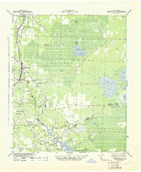
1942 · Maysville
USGS Topo · 1:62,500
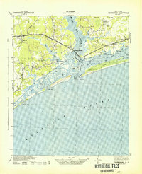
1942 · Swansboro
USGS Topo · 1:62,500
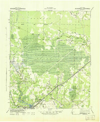
1943 · Jacksonville
USGS Topo · 1:62,500
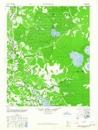
1948 · Maysville
USGS Topo · 1:62,500
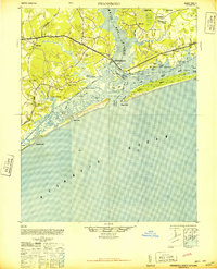
1948 · Swansboro
USGS Topo · 1:62,500
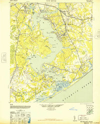
1948 · New River
USGS Topo · 1:62,500
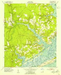
1952 · Hubert
USGS Topo · 1:24,000
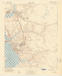
1952 · Camp Lejeune
USGS Topo · 1:24,000
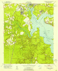
1952 · Jacksonville South
USGS Topo · 1:24,000
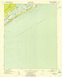
1952 · Browns Inlet
USGS Topo · 1:24,000
Featured Places
- Jacksonville, NC
- Piney Green, Jacksonville
- Holiday Mobile Home City, Jacksonville
- Marine Corps Base Camp Lejeune, NC
- Pinewood Downs, Jacksonville