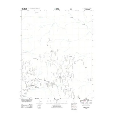
2012 Map of Camp Nelson
USGS Topo · Published 2012About this map
Camp Nelson and Cedar Slope anchor the southern portion of this high-elevation terrain where residential roads like Redwood Dr and Alpine Dr meet the wilderness. The landscape is defined by a dense network of subalpine meadows, including Smith and Failing Meadow, Coffee Mill Meadow, and Log Cabin Meadow, which suggest a history of seasonal grazing and forest management.
Find a feature on this map
51 named features on this map. Tap any name to fly to it.
Don’t see what you’re looking for? This feature index may not catch every label — zoom into the map to look around manually.
Map Details
Editions of this 2012 Camp Nelson Map
This is the sole edition of this map. No revisions or reprints were ever made.
Other maps of this area
1904 · Kaweah
USGS Topo · 1:125,000
1905 · Olancha
USGS Topo · 1:125,000
1907 · Olancha
USGS Topo · 1:125,000
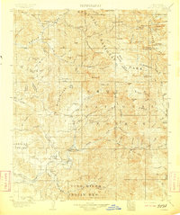
1909 · Kaweah
USGS Topo · 1:125,000
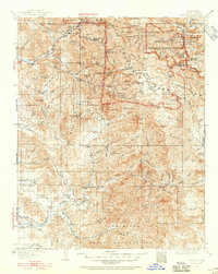
1937 · Kaweah
USGS Topo · 1:125,000

1948 · Fresno
USGS Topo · 1:250,000
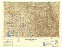
1955 · Fresno
USGS Topo · 1:250,000
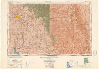
1956 · Fresno
USGS Topo · 1:250,000
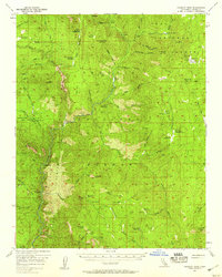
1956 · Hockett Peak
USGS Topo · 1:62,500
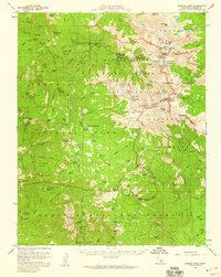
1956 · Mineral King
USGS Topo · 1:62,500