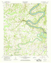
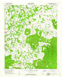
1960 Map of Campaign
USGS Topo · Published 1969About this map
The confluence of the Caney Fork River and the Collins River defines this landscape during the mid-twentieth century, where the rising waters of the Center Hill Reservoir meet the older impoundment of Great Falls Lake. The mapping reveals a transition from the winding river bends of Greenbrier Bend and Horseshoe Bend to the more settled uplands of the Cumberland Plateau foothills. Near the southern edge, the Louisville and Nashville railroad serves the community of Campaign, while numerous small settlements like Moores College and Midway are connected by a network of rural routes including Ferry Road. Small country congregations and burial grounds, such as Old Bybee Chapel and Friendship Cem, are scattered throughout the hills, providing a detailed record of the social and family geography before modern regional consolidation transformed these rural Tennessee communities.
Find a feature on this map
64 named features on this map. Tap any name to fly to it.
Don’t see what you’re looking for? This feature index may not catch every label — zoom into the map to look around manually.
Map Details
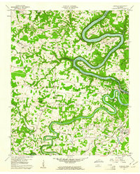
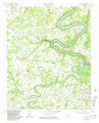
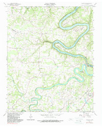
Editions of this 1960 Campaign Map
4 editions found
Other maps of this area

1893 · Mc Minnville
USGS Topo · 1:125,000

1895 · Mc Minnville
USGS Topo · 1:125,000

1942 · Statesville
USGS Topo · 1:100,000

1943 · Cookeville
USGS Topo · 1:100,000

1943 · Mc Minnville
USGS Topo · 1:100,000

1944 · Cookeville
USGS Topo · 1:100,000

1953 · Chattanooga
USGS Topo · 1:250,000

1953 · Mc Minnville
USGS Topo · 1:24,000
1957 · Cardwell Mountain
USGS Topo · 1:24,000

1957 · Chattanooga
USGS Topo · 1:250,000