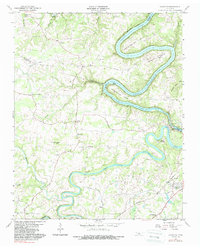
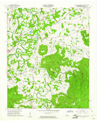
1960 Map of Campaign
USGS Topo · Published 1988About this map
The Caney Fork River and Collins River carve a winding course through this mid-century landscape where Warren, DeKalb, and White counties meet. The region is defined by dramatic river geography, notably the sharp oxbows of Horseshoe Bend and Wright Bend along the Center Hill Reservoir. Near the southern edge, the settlement of Campaign sits as a hub for local transportation and industry, situated along the Louisville and Nashville railroad and the Nashville and Louisville Road.
Find a feature on this map
57 named features on this map. Tap any name to fly to it.
Don’t see what you’re looking for? This feature index may not catch every label — zoom into the map to look around manually.
Map Details
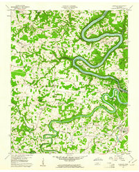
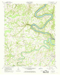
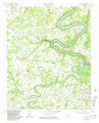
Editions of this 1960 Campaign Map
4 editions found
Other maps of this area

1893 · Mc Minnville
USGS Topo · 1:125,000

1895 · Mc Minnville
USGS Topo · 1:125,000

1942 · Statesville
USGS Topo · 1:100,000

1943 · Cookeville
USGS Topo · 1:100,000

1943 · Mc Minnville
USGS Topo · 1:100,000

1944 · Cookeville
USGS Topo · 1:100,000

1953 · Chattanooga
USGS Topo · 1:250,000

1953 · Mc Minnville
USGS Topo · 1:24,000
1957 · Cardwell Mountain
USGS Topo · 1:24,000

1957 · Chattanooga
USGS Topo · 1:250,000