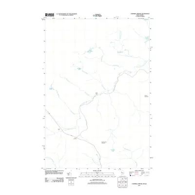
2011 Map of Campbell Brook
USGS Topo · Published 2011About this map
The South Branch Penobscot River flows through this remote timber and farm landscape along the Maine-Quebec border in 2011. The terrain is defined by low-lying wetlands and numerous water bodies, including Campbell Pond, Williams Pond, and Cape Horn Pond, which feed into an intricate drainage system of brooks like McKain Brook and Threemile Brook. Local human presence is concentrated around isolated agricultural and logging outposts, most notably Sandy Bay Farm, Hilton Farm, and the South Branch Camp.
Find a feature on this map
25 named features on this map. Tap any name to fly to it.
Don’t see what you’re looking for? This feature index may not catch every label — zoom into the map to look around manually.
Map Details
Editions of this 2011 Campbell Brook Map
This is the sole edition of this map. No revisions or reprints were ever made.
Other maps of this area

1922 · Long Pond
USGS Topo · 1:62,500

1923 · Attean
USGS Topo · 1:62,500

1924 · Long Pond
USGS Topo · 1:62,500

1925 · Attean
USGS Topo · 1:62,500

1927 · Sandy Bay
USGS Topo · 1:48,000

1930 · Sandy Bay
USGS Topo · 1:62,500

1944 · Long Pond
USGS Topo · 1:62,500

1944 · Sandy Bay
USGS Topo · 1:62,500

1949 · Jackman
USGS Topo · 1:250,000

1950 · Attean
USGS Topo · 1:50,000