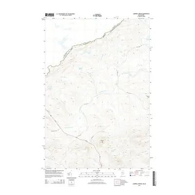
2014 Map of Campbell Brook
USGS Topo · Published 2014About this map
The S Br Penobscot River winds through the northwestern corner of Somerset County, defining a landscape where the international border with Canada follows the height of land. This northern Maine wilderness is punctuated by prominent peaks including Number Two Mtn and Moose Mtn, overlooking a dense network of water bodies such as Hall Pond, Duncan Pond, and Williams Pond.
Find a feature on this map
30 named features on this map. Tap any name to fly to it.
Don’t see what you’re looking for? This feature index may not catch every label — zoom into the map to look around manually.
Map Details
Editions of this 2014 Campbell Brook Map
This is the sole edition of this map. No revisions or reprints were ever made.
Other maps of this area

1922 · Long Pond
USGS Topo · 1:62,500

1923 · Attean
USGS Topo · 1:62,500

1924 · Long Pond
USGS Topo · 1:62,500

1925 · Attean
USGS Topo · 1:62,500

1927 · Sandy Bay
USGS Topo · 1:48,000

1930 · Sandy Bay
USGS Topo · 1:62,500

1944 · Long Pond
USGS Topo · 1:62,500

1944 · Sandy Bay
USGS Topo · 1:62,500

1949 · Jackman
USGS Topo · 1:250,000

1950 · Attean
USGS Topo · 1:50,000