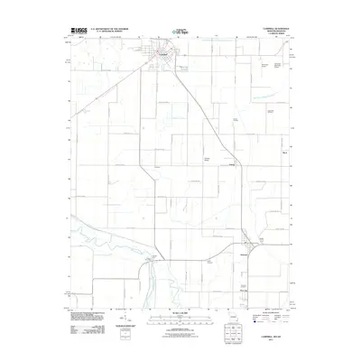
2011 Map of Campbell
USGS Topo · Published 2011About this map
The Saint Francis River defines the southwestern boundary of this Missouri Bootheel landscape, where drainage engineering has transformed the terrain into a productive agricultural grid. The city of Campbell sits as the primary hub at the northern edge, supported by the Campbell Municipal Airport and a network of county roads. Further south, the map details the smaller settlements of Holcomb, Gibson, and Pine City, each anchoring their respective corners of the quadrangle.
Find a feature on this map
56 named features on this map. Tap any name to fly to it.
Don’t see what you’re looking for? This feature index may not catch every label — zoom into the map to look around manually.
Map Details
Editions of this 2011 Campbell Map
2 editions found
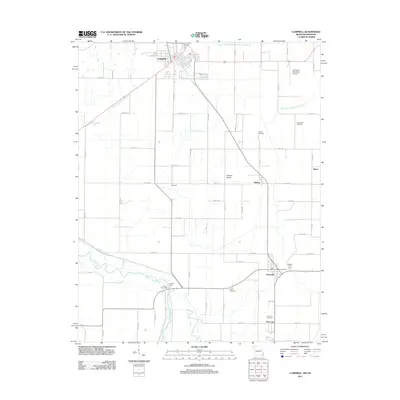
Other maps of this area

1940 · Malden
USGS Topo · 1:62,500

1940 · Pascola
USGS Topo · 1:62,500

1940 · Valley Ridge
USGS Topo · 1:62,500

1940 · Piggott
USGS Topo · 1:62,500

1955 · Pascola
USGS Topo · 1:62,500

1956 · Valley Ridge
USGS Topo · 1:62,500

1956 · Piggott
USGS Topo · 1:62,500

1956 · Malden
USGS Topo · 1:62,500

1956 · Dyersburg
USGS Topo · 1:250,000

1957 · Poplar Bluff
USGS Topo · 1:250,000