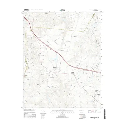
2016 Map of Campbell Junction
USGS Topo · Published 2016About this map
Monterey sits at the northwestern corner of this study, marking a transition point on the high Cumberland Plateau. The landscape is defined by the Tennessee Valley Divide, which separates the complex drainage systems of the region. To the west, waters like Devil Cr and Sandy Cr carve through the plateau, while the eastern reaches are defined by Caney Fork and Drowning Cr. The settlement pattern follows the ridge lines, with small communities like Mayland and Campbell Junction established along the primary transport corridors.
Find a feature on this map
134 named features on this map. Tap any name to fly to it.
Don’t see what you’re looking for? This feature index may not catch every label — zoom into the map to look around manually.
Map Details
Editions of this 2016 Campbell Junction Map
This is the sole edition of this map. No revisions or reprints were ever made.
Other maps of this area

1892 · Pikeville
USGS Topo · 1:125,000

1895 · Pikeville
USGS Topo · 1:125,000

1897 · Standingstone
USGS Topo · 1:125,000

1898 · Standingstone
USGS Topo · 1:125,000

1912 · Crossville
USGS Topo · 1:62,500

1935 · Isoline
USGS Topo · 1:24,000

1935 · Campbell Junction
USGS Topo · 1:24,000

1935 · Clarkrange
USGS Topo · 1:24,000
1936 · Crossville
USGS Topo · 1:24,000

1943 · Cookeville
USGS Topo · 1:100,000