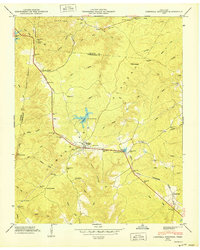
1950 Map of Campbell Junction
USGS Topo · Published 1950About this map
The Cumberland Plateau high ground dominates this 1950 survey, where the Tennessee Central railroad serves as the primary artery for high-altitude transport between Putnam and Cumberland counties. At the heart of the sheet lies Campbell Junction, a critical node where the railway splits, navigating the complex drainage systems of the Tennessee Valley Divide. The map documents a scattered rural settlement pattern anchored by small sidings and family-centered landmarks, such as Flat Rock Siding and The Cowpens. Genealogists will find significant value in the documentation of numerous local burial grounds, including Welch Cem, Pugh Cem, Rains Cem, and Custard Cem. The landscape is further defined by a dense network of watercourses like Meadow Creek and Caney Fork, illustrating the difficult terrain that dictated the placement of early infrastructure like Pomona Road and the mountain community of Mayland.
Find a feature on this map
78 named features on this map. Tap any name to fly to it.
Don’t see what you’re looking for? This feature index may not catch every label — zoom into the map to look around manually.
Map Details
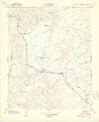
Editions of this 1950 Campbell Junction Map
2 editions found
Other maps of this area

1892 · Pikeville
USGS Topo · 1:125,000

1895 · Pikeville
USGS Topo · 1:125,000

1897 · Standingstone
USGS Topo · 1:125,000

1898 · Standingstone
USGS Topo · 1:125,000

1912 · Crossville
USGS Topo · 1:62,500

1935 · Isoline
USGS Topo · 1:24,000

1935 · Campbell Junction
USGS Topo · 1:24,000

1935 · Clarkrange
USGS Topo · 1:24,000
1936 · Crossville
USGS Topo · 1:24,000

1943 · Cookeville
USGS Topo · 1:100,000