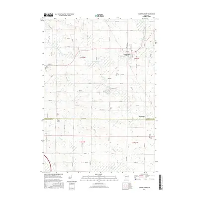
2015 Map of Campbellsport
USGS Topo · Published 2015About this map
Campbellsport serves as a central hub on this 2015 survey, situated where the W Br Milwaukee River flows near the Campbellsport Millpond. The landscape transitions from the developed grids of Kewaskum and Wayne to the sprawling wetlands of the Wayne Marsh and McCullough Marsh. This quadrangle is particularly rich for genealogical research, documenting numerous denominational and family burial grounds such as Deutsche Bisch Cem and Saint Martins Cem scattered across the rural townships of Ashford and Elmore. The river network remains the defining geographic feature, with the Milwaukee River and its western branch carving paths through the glacial terrain. In the southern portion of the sheet, the village of Saint Kilian sits on the border of Fond du Lac and Washington counties, illustrating the persistence of small crossroad settlements in eastern Wisconsin.
Find a feature on this map
95 named features on this map. Tap any name to fly to it.
Don’t see what you’re looking for? This feature index may not catch every label — zoom into the map to look around manually.
Map Details
Editions of this 2015 Campbellsport Map
This is the sole edition of this map. No revisions or reprints were ever made.
Other maps of this area

1904 · West Bend
USGS Topo · 1:62,500

1904 · Hartford
USGS Topo · 1:62,500

1955 · Campbellsport
USGS Topo · 1:62,500

1955 · Kewaskum
USGS Topo · 1:62,500

1957 · Madison
USGS Topo · 1:250,000

1959 · West Bend
USGS Topo · 1:62,500

1959 · Hartford
USGS Topo · 1:62,500

1959 · Nenno
USGS Topo · 1:24,000

1959 · Allenton
USGS Topo · 1:24,000
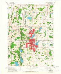
1959 · West Bend
USGS Topo · 1:24,000