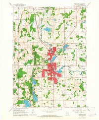
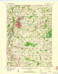
1959 Map of West Bend
USGS Topo · Published 1964About this map
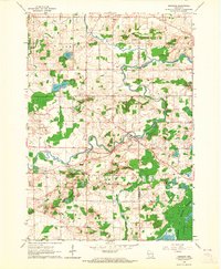
The Milwaukee River dictates the layout of Washington County in this late-1950s survey, winding southward through the industrial and residential core of West Bend. This era shows a community in transition, as the once-distinct settlement of Barton sits just north of the expanding city limits, linked by the Chicago and North Western railroad. The landscape is heavily marked by its glacial history, with the Kettle Moraine State Forest and numerous kettle lakes like Silver Lake and Lucas Lake defining the western edge of the quadrangle.
Find a feature on this map
68 named features on this map. Tap any name to fly to it.
Don’t see what you’re looking for? This feature index may not catch every label — zoom into the map to look around manually.
Map Details
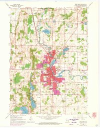
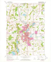
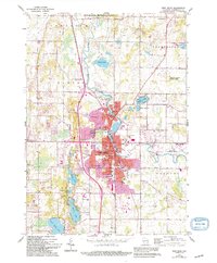
Editions of this 1959 West Bend Map
4 editions found
Other maps of this area

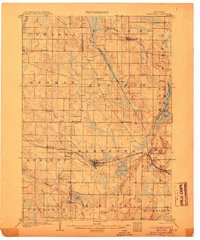
1904 · West Bend
USGS Topo · 1:62,500
1904 · Hartford
USGS Topo · 1:62,500

1955 · Campbellsport
USGS Topo · 1:62,500

1955 · Kewaskum
USGS Topo · 1:62,500

1957 · Madison
USGS Topo · 1:250,000
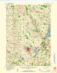
1959 · West Bend
USGS Topo · 1:62,500
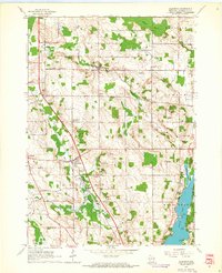
1959 · Hartford
USGS Topo · 1:62,500
1959 · Allenton
USGS Topo · 1:24,000
1959 · Newburg
USGS Topo · 1:24,000
1959 · Jackson
USGS Topo · 1:24,000