
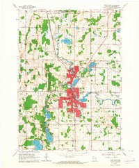
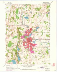
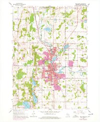
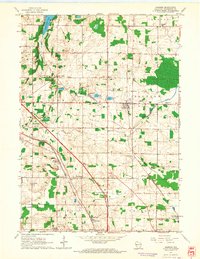
1959 Map of West Bend
USGS Topo · Published 1994About this map
The Milwaukee River meanders southward through this part of Washington County, anchoring a landscape where glacial topography meets mid-century urban expansion. The city of West Bend serves as the primary hub, showing significant growth through the purple-tinted 1990s revisions that expand upon the original 1959 footprint. This survey captures a dense network of local institutions, from the County Hospital and High Sch to numerous parochial centers like St Johns Sch and St Francis Sch.
Find a feature on this map
67 named features on this map. Tap any name to fly to it.
Don’t see what you’re looking for? This feature index may not catch every label — zoom into the map to look around manually.
Map Details
Editions of this 1959 West Bend Map
4 editions found
Other maps of this area

1904 · West Bend
USGS Topo · 1:62,500

1904 · Hartford
USGS Topo · 1:62,500

1955 · Campbellsport
USGS Topo · 1:62,500

1955 · Kewaskum
USGS Topo · 1:62,500

1957 · Madison
USGS Topo · 1:250,000

1959 · West Bend
USGS Topo · 1:62,500

1959 · Hartford
USGS Topo · 1:62,500

1959 · Allenton
USGS Topo · 1:24,000
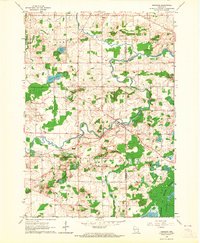
1959 · Newburg
USGS Topo · 1:24,000
1959 · Jackson
USGS Topo · 1:24,000