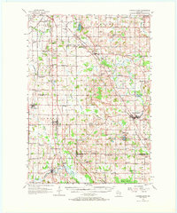
1955 Map of Campbellsport
USGS Topo · Published 1969About this map
The West Branch Milwaukee River and the Milwaukee River carve a winding path through the southeastern portion of this landscape, connecting settlements like Campbellsport and Waucousta. This mid-century survey captures a diverse agricultural and industrial corridor just as modern infrastructure began to modernize the region, highlighted by the prominent route of U.S. 41 cutting through Lomira. The area is characterized by a dense network of local landmarks, including the St Bridget Sch and Camp Ground Sch, reflecting the shift in rural education during this era.
Find a feature on this map
87 named features on this map. Tap any name to fly to it.
Don’t see what you’re looking for? This feature index may not catch every label — zoom into the map to look around manually.
Map Details
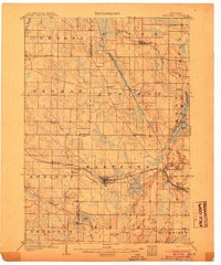
Editions of this 1955 Campbellsport Map
2 editions found
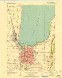
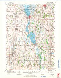
Other maps of this area

1904 · West Bend
USGS Topo · 1:62,500
1904 · Hartford
USGS Topo · 1:62,500

1910 · Fond du Lac
USGS Topo · 1:62,500

1954 · Kiel
USGS Topo · 1:62,500

1955 · Waupun
USGS Topo · 1:62,500

1955 · Campbellsport
USGS Topo · 1:62,500

1955 · Kewaskum
USGS Topo · 1:62,500

1955 · Fond Du Lac
USGS Topo · 1:62,500
1955 · Fond Du Lac
USGS Topo · 1:24,000
1955 · Horicon
USGS Topo · 1:62,500