
Loading...
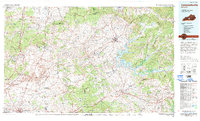
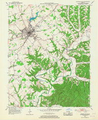
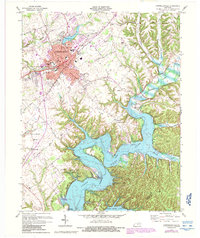
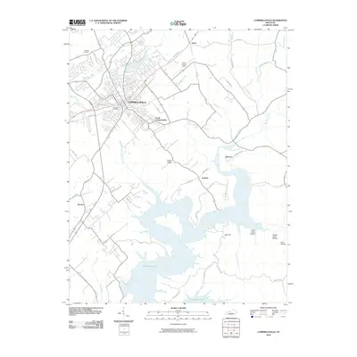
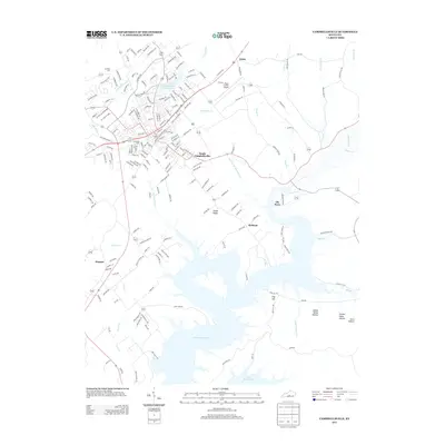
Loading map...1986 Map of Campbellsville
USGS Topo · Published 1986About this map
The Green River winds through this Central Kentucky landscape, dominated by the waters of Green River Lake State Park and the prominent elevations of Muldraugh Hill. In the mid-1980s, the region around Campbellsville and Columbia-Adair County Airport reflects a mix of traditional agriculture and specialized industrial activity, evidenced by the Magnolia Gas Storage Field and an Underground Gas Storage Field.
Find a feature on this map
229 named features on this map. Tap any name to fly to it.
Don’t see what you’re looking for? This feature index may not catch every label — zoom into the map to look around manually.
Map Details
Date Portrayed1986
Date Published1986
PublisherU.S. Geological Survey
Map TypeTopographic
Scale1:100,000
Physical Dimensions41.2 x 25 inches
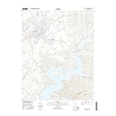
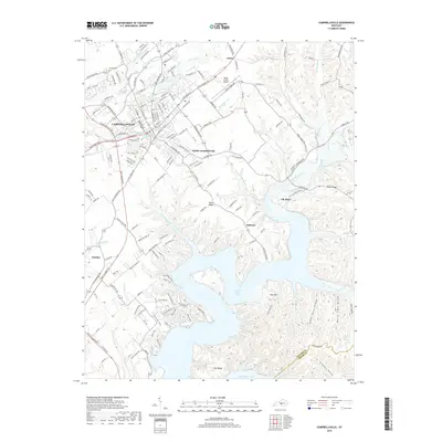
Editions of this 1986 Campbellsville Map
2 editions found
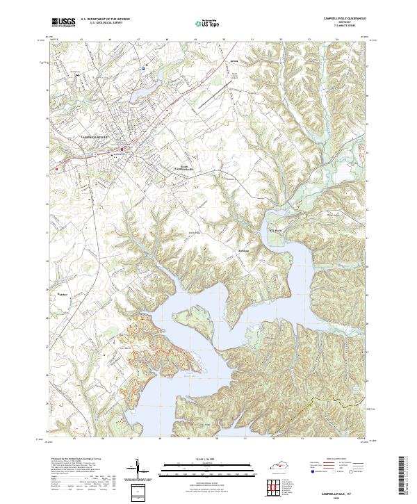
Historical Maps of Glasgow Through Time
8 maps found
Featured Locations
Source Details
SourceU.S. Geological Survey
CopyrightPublic Domain