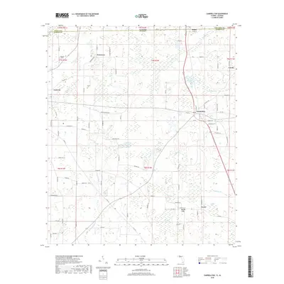
2018 Map of Campbellton
USGS Topo · Published 2018About this map
Jacob City and Campbellton anchor this survey of the Florida-Alabama borderlands, where the panhandle's agricultural history meets a complex network of wetlands and ponds. The landscape is defined by its water features, from the cypress-laden Registered Bay to the winding course of Little Alligator Cr and the numerous depressions like Rum Pond and Gaynor Pond. These natural basins dictate the local road network, where routes like Gainer Cemetery Rd and Shiloh Church Loop navigate between family holdings and historic community centers.
Find a feature on this map
96 named features on this map. Tap any name to fly to it.
Don’t see what you’re looking for? This feature index may not catch every label — zoom into the map to look around manually.
Map Details
Editions of this 2018 Campbellton Map
This is the sole edition of this map. No revisions or reprints were ever made.
Other maps of this area

1942 · Enterprise
USGS Topo · 1:125,000

1950 · Chipley
USGS Topo · 1:24,000

1951 · Graceville
USGS Topo · 1:24,000

1951 · Chipley
USGS Topo · 1:24,000

1952 · Cottondale East
USGS Topo · 1:24,000

1952 · Campbellton
USGS Topo · 1:24,000

1952 · Cottondale West
USGS Topo · 1:24,000

1952 · Sills
USGS Topo · 1:24,000

1953 · Dothan
USGS Topo · 1:250,000

1954 · Dothan
USGS Topo · 1:250,000