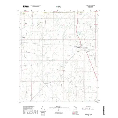
2021 Map of Campbellton
USGS Topo · Published 2021About this map
Campbellton and Jacob City anchor this landscape along the border of Florida and Alabama, where agricultural tradition meets the wetland hydrology of the Florida Panhandle. The area is defined by a dense network of country roads like Browntown Rd and Galloway Rd that connect small settlements and community landmarks. Local heritage is preserved in numerous locations such as the Springhill United Methodist Church and the Saint Paul Cem, reflecting the deep-rooted social fabric of Jackson County.
Find a feature on this map
101 named features on this map. Tap any name to fly to it.
Don’t see what you’re looking for? This feature index may not catch every label — zoom into the map to look around manually.
Map Details
Editions of this 2021 Campbellton Map
This is the sole edition of this map. No revisions or reprints were ever made.
Other maps of this area

1942 · Enterprise
USGS Topo · 1:125,000

1950 · Chipley
USGS Topo · 1:24,000

1951 · Graceville
USGS Topo · 1:24,000

1951 · Chipley
USGS Topo · 1:24,000

1952 · Cottondale East
USGS Topo · 1:24,000

1952 · Campbellton
USGS Topo · 1:24,000

1952 · Cottondale West
USGS Topo · 1:24,000

1952 · Sills
USGS Topo · 1:24,000

1953 · Dothan
USGS Topo · 1:250,000

1954 · Dothan
USGS Topo · 1:250,000