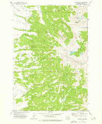
1972 Map of Campfire Lake
USGS Topo · Published 1976About this map
Gallatin National Forest dominates this high-elevation terrain in Park County, Montana, as it appeared in the early 1970s. The area is defined by a complex drainage network where the Shields River and various forks of Horse Creek and Porcupine Creek originate. Human presence is light and strictly operational, evidenced by the Porcupine Guard Sta in the north and the Ibex Guard Sta near the southern boundary. These outposts served as critical hubs for forest management and fire lookout support in an era when access relied heavily on a network of Pack Trails and a few specialized Jeep Trails.
Find a feature on this map
33 named features on this map. Tap any name to fly to it.
Don’t see what you’re looking for? This feature index may not catch every label — zoom into the map to look around manually.
Map Details
Editions of this 1972 Campfire Lake Map
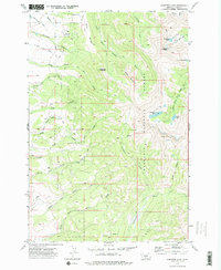
2 editions found
Other maps of this area

1886 · Little Belt Mts.
USGS Topo · 1:250,000

1891 · Livingston
USGS Topo · 1:250,000

1893 · Livingston
USGS Topo · 1:250,000

1894 · Little Belt Mts.
USGS Topo · 1:250,000

1897 · Little Belt Mts.
USGS Topo · 1:250,000

1898 · Little Belt Mts.
USGS Topo · 1:250,000

1902 · Little Belt Mts.
USGS Topo · 1:250,000

1947 · Bozeman
USGS Topo · 1:250,000

1948 · Bozeman
USGS Topo · 1:250,000

1948 · White Sulphur Springs
USGS Topo · 1:250,000