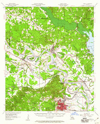
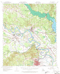
1957 Map of Campti
USGS Topo · Published 1960About this map
Natchitoches anchors the southern portion of this mid-century survey, showing the campus of NW State College and the surrounding street grid before significant late-century expansion. The landscape is defined by the winding course of the Red River and its complex network of bayous, including Bayou Pierre and Three League Bayou. In the center of the sheet, the river creates a massive loop around Smith Island, while the Old Spanish Lake Lowlands occupy the southwest, reflecting the region's alluvial history and drainage patterns.
Find a feature on this map
79 named features on this map. Tap any name to fly to it.
Don’t see what you’re looking for? This feature index may not catch every label — zoom into the map to look around manually.
Map Details
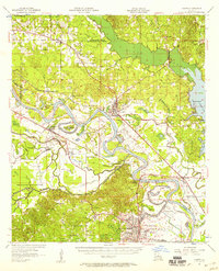
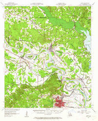
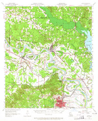
Editions of this 1957 Campti Map
5 editions found
Other maps of this area

1935 · Hagewood
USGS Topo · 1:31,680

1937 · Campti NE
USGS Topo · 1:31,680

1937 · Bermuda
USGS Topo · 1:31,680

1937 · Campti SE
USGS Topo · 1:31,680

1937 · Campti NW
USGS Topo · 1:31,680

1937 · Montgomery
USGS Topo · 1:62,500

1937 · Campti SW
USGS Topo · 1:31,680

1938 · Allen
USGS Topo · 1:31,680

1938 · Lake End
USGS Topo · 1:31,680

1942 · Many
USGS Topo · 1:62,500