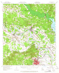
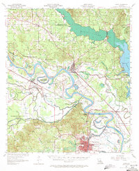
1957 Map of Campti
USGS Topo · Published 1965About this map
Natchitoches anchors the southern reaches of this mid-century survey, a landscape defined by the serpentine path of the Red River and its complex network of bayous. The map documents the convergence of the Kansas City Southern and Texas and Pacific railroads near Campti, reflecting a transportation-dependent economy where the rail lines bypass the sprawling Old Spanish Lake Lowlands. Higher ground is marked by an array of small rural settlements and community landmarks like Grappes Bluff and Alpha. Cultural life is densely mapped through numerous houses of worship, such as Bright Morning Star Ch and St Marys Ch, alongside local institutions including NW State College and the Black Lake Sch. These details provide a granular look at the parish structure before late-20th-century development shifted the local footprint.
Find a feature on this map
92 named features on this map. Tap any name to fly to it.
Don’t see what you’re looking for? This feature index may not catch every label — zoom into the map to look around manually.
Map Details
Editions of this 1957 Campti Map
5 editions found
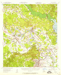
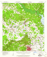
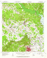
Other maps of this area

1935 · Hagewood
USGS Topo · 1:31,680

1937 · Campti NE
USGS Topo · 1:31,680

1937 · Bermuda
USGS Topo · 1:31,680

1937 · Campti SE
USGS Topo · 1:31,680

1937 · Campti NW
USGS Topo · 1:31,680

1937 · Montgomery
USGS Topo · 1:62,500

1937 · Campti SW
USGS Topo · 1:31,680

1938 · Allen
USGS Topo · 1:31,680

1938 · Lake End
USGS Topo · 1:31,680

1942 · Many
USGS Topo · 1:62,500