Loading...
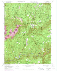
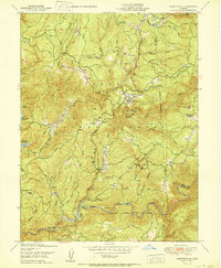
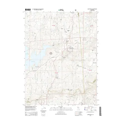
Loading map...1948 Map of Camptonville
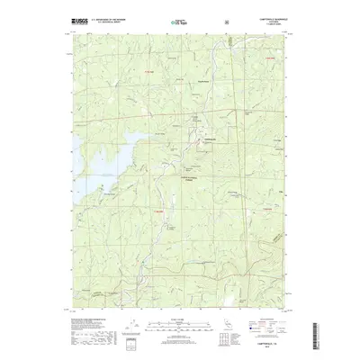
USGS Topo · Published 1974About this map
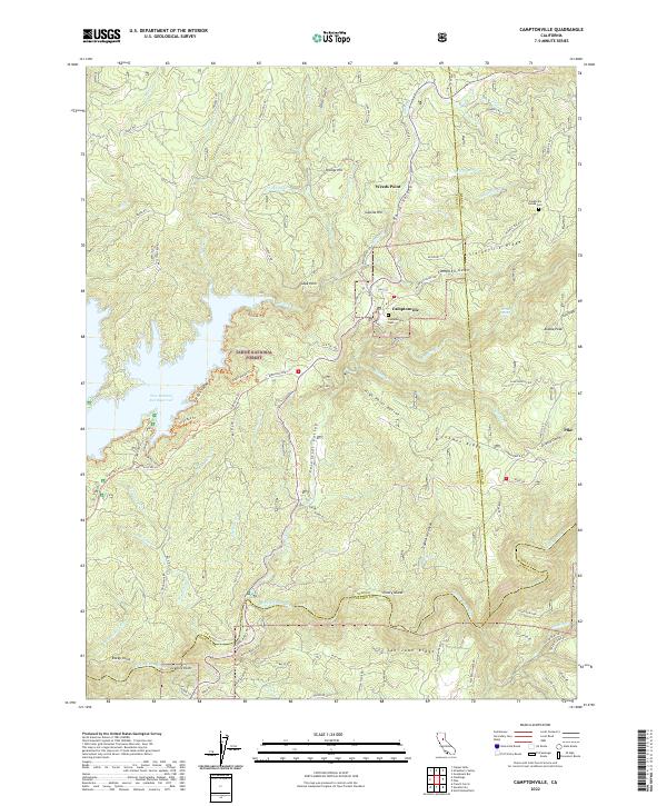
The Middle Yuba River and its high-elevation tributaries carve through the heart of the Tahoe National Forest, defining a landscape where historic mining and ranching outposts are scattered across the ridges. Centered on the town of Camptonville, this area reflects the late 1940s rural character of the Sierra foothills, with 1969 photorevisions highlighting changes in the terrain. High points like Alaska Hill Lookout and Youngs Hill overlook a network of named gulches and ridges that speak to the region's resource-driven history.
Find a feature on this map
63 named features on this map. Tap any name to fly to it.
Don’t see what you’re looking for? This feature index may not catch every label — zoom into the map to look around manually.
Map Details
Date Portrayed1948
Date Published1974
PublisherU.S. Geological Survey
Map TypeTopographic
Scale1:24,000
Physical Dimensions21.5 x 26.8 inches
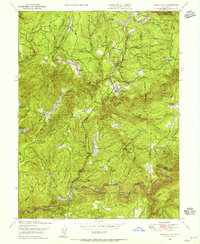
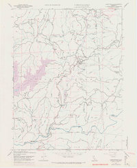
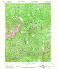
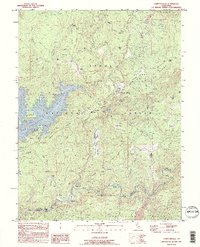
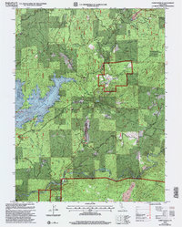
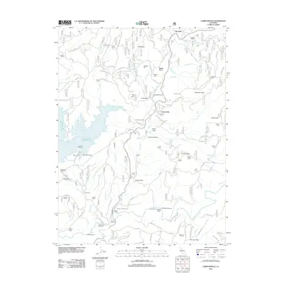
Editions of this 1948 Camptonville Map
4 editions found
Historical Maps of Celestial Valley Through Time
8 maps found
Featured Locations
Source Details
SourceU.S. Geological Survey
CopyrightPublic Domain