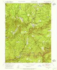
1948 Map of Camptonville
USGS Topo · Published 1956About this map
The Middle Yuba River and its steep northern tributaries define this late-1940s landscape within the Tahoe National Forest. The settlement of Camptonville serves as the central hub, surrounded by a dense network of mountain homesteads and resource-based landmarks. Family-named sites like Pendola Ranch and Rothe Ranch are scattered across the high ridges, while the Bullards Bar Reservoir sits on the western edge of the quadrangle. High-altitude operations are evident at the Oak Valley Guard Sta and the Alaska Hill Lookout, indicating the region's managed forestry and fire-watch history. Along the riverbed, the presence of Strawberry Bar and the Joubert Diggings points to the area's legacy of hydraulic and placer mining, where gold seekers once worked the gravels of the Yuba drainage.
Find a feature on this map
62 named features on this map. Tap any name to fly to it.
Don’t see what you’re looking for? This feature index may not catch every label — zoom into the map to look around manually.
Map Details
Editions of this 1948 Camptonville Map
4 editions found
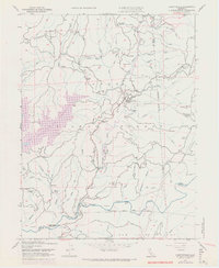
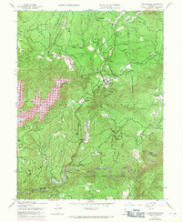
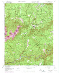
Other maps of this area

1888 · Smartsville
USGS Topo · 1:125,000

1888 · Bidwell Bar
USGS Topo · 1:125,000

1891 · Bidwell Bar
USGS Topo · 1:125,000

1891 · Downieville
USGS Topo · 1:125,000

1891 · Colfax
USGS Topo · 1:125,000

1891 · Smartsville
USGS Topo · 1:125,000

1892 · Smartsville
USGS Topo · 1:125,000

1892 · Colfax
USGS Topo · 1:125,000

1893 · Bidwell Bar
USGS Topo · 1:125,000

1893 · Downieville
USGS Topo · 1:125,000