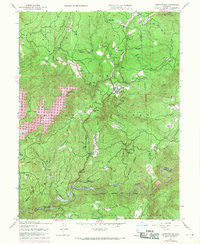
1948 Map of Camptonville
USGS Topo · Published 1971About this map
Camptonville serves as the focal point of this Gold Country landscape, situated within the Tahoe National Forest at the boundary of Yuba and Sierra counties. The 1969 photorevisions reveal the expansion of the New Bullards Bar Reservoir, which dramatically altered the canyons of the North Yuba River drainage. This mapping period captures the transition from older agricultural and mining sites, like the Joubert Diggings and Weeds Point, to modern forest management and recreational land use.
Find a feature on this map
73 named features on this map. Tap any name to fly to it.
Don’t see what you’re looking for? This feature index may not catch every label — zoom into the map to look around manually.
Map Details
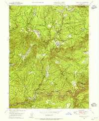
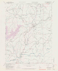
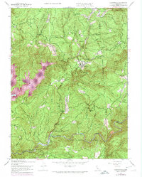
Editions of this 1948 Camptonville Map
4 editions found
Other maps of this area

1888 · Smartsville
USGS Topo · 1:125,000

1888 · Bidwell Bar
USGS Topo · 1:125,000

1891 · Bidwell Bar
USGS Topo · 1:125,000

1891 · Downieville
USGS Topo · 1:125,000

1891 · Colfax
USGS Topo · 1:125,000

1891 · Smartsville
USGS Topo · 1:125,000

1892 · Smartsville
USGS Topo · 1:125,000

1892 · Colfax
USGS Topo · 1:125,000

1893 · Bidwell Bar
USGS Topo · 1:125,000

1893 · Downieville
USGS Topo · 1:125,000