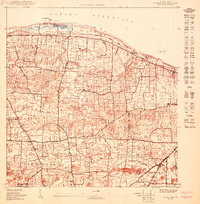
1950 Map of Camuy NE
USGS Topo · Published 1950About this map
The American Railroad of Porto Rico tracks run parallel to the northern coast, cutting through the shoreline terrain near Pta Maracayo and the wetlands of Ciénaga La Sardinera. This mid-century coastal landscape in the Municipio de Hatillo is defined by a dense network of local barrios including Carrizales, Capáez, and Corcobados.
Find a feature on this map
20 named features on this map. Tap any name to fly to it.
Don’t see what you’re looking for? This feature index may not catch every label — zoom into the map to look around manually.
Map Details
Editions of this 1950 Camuy NE Map
This is the sole edition of this map. No revisions or reprints were ever made.
Other maps of this area

1938 · Camuy
USGS Topo · 1:20,000

1942 · Arecibo
USGS Topo · 1:30,000

1942 · Camuy
USGS Topo · 1:30,000

1946 · Arecibo
USGS Topo · 1:30,000
1947 · Arecibo SO
USGS Topo · 1:10,000
1950 · Arecibo NO
USGS Topo · 1:10,000
1950 · Camuy SE
USGS Topo · 1:10,000
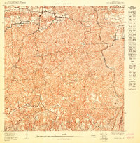
1950 · Camuy SO
USGS Topo · 1:10,000
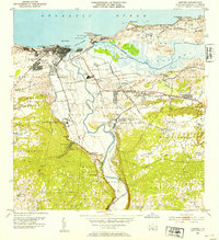
1953 · Arecibo
USGS Topo · 1:30,000
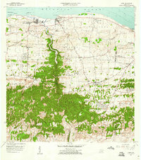
1957 · Camuy
USGS Topo · 1:20,000
Featured Places
- Estancias de Vista Verde, Hatillo
- Las Cunetas, Arecibo
- Villa Cristina, Hatillo
- Alturas del Atlántico, Arecibo
- Urb. Paseo del Campo, Hatillo