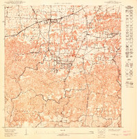
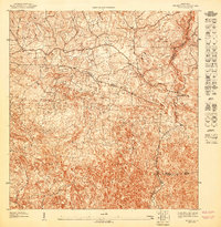
1950 Map of Camuy SE
USGS Topo · Published 1950About this map
The northern reaches of Campo Alegre and Hato Arriba show a landscape in transition during this 1950 survey, where traditional agricultural clusters meet emerging residential developments like the Parcelas de Campo Alegre. The map documentation, compiled from surveys by the United States Department of the Interior between 1937 and 1949, captures the fine-grained social geography of the region. Local life centers on the Escuela Segunda Unidad and the Iglesia de Dios Pentecostal near Cuatro Calles, while the Estacion Cuchi along the railroad line marks a vital transport link for the local economy.
Find a feature on this map
28 named features on this map. Tap any name to fly to it.
Don’t see what you’re looking for? This feature index may not catch every label — zoom into the map to look around manually.
Map Details
Editions of this 1950 Camuy SE Map
This is the sole edition of this map. No revisions or reprints were ever made.
Other maps of this area

1938 · Camuy
USGS Topo · 1:20,000

1942 · Arecibo
USGS Topo · 1:30,000

1942 · Camuy
USGS Topo · 1:30,000

1946 · Utuado
USGS Topo · 1:30,000

1946 · Bayaney
USGS Topo · 1:30,000

1946 · Arecibo
USGS Topo · 1:30,000
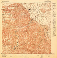
1947 · Arecibo SO
USGS Topo · 1:10,000
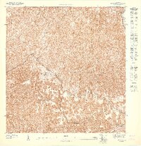
1947 · Utuado NO
USGS Topo · 1:10,000
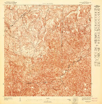
1947 · Bayaney NE
USGS Topo · 1:10,000
1947 · Bayaney NO
USGS Topo · 1:10,000
Featured Places
- Cuchí 1, Arecibo
- Cuchí 2, Arecibo
- El Combate, Arecibo
- Sector La Mariposa, Hatillo
- Villa La Joya, Arecibo