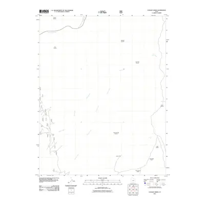
2011 Map of Canaan Creek
USGS Topo · Published 2011About this map
Upper Valley Creek and Willow Creek carve through this high-elevation landscape in Garfield County, defining a complex network of drainage systems typical of the region's southern plateaus. The 2011 survey reveals a territory dominated by landforms like Mitchell Canyon and Coal Bed Canyon, where narrow washes such as Little Valley Wash and Trap Canyon Wash converge. While human settlement is minimal, the presence of Oak Spring and named landmarks like Cherry Flat suggests a geography long understood through its water sources and grazing potential. This map is particularly useful for tracking the precise courses of Canaan Creek and its various tributaries as they navigate the breaks and hollows of the Utah backcountry.
Find a feature on this map
14 named features on this map. Tap any name to fly to it.
Don’t see what you’re looking for? This feature index may not catch every label — zoom into the map to look around manually.
Map Details
Editions of this 2011 Canaan Creek Map
This is the sole edition of this map. No revisions or reprints were ever made.
Other maps of this area

1886 · Escalante
USGS Topo · 1:250,000

1956 · Escalante
USGS Topo · 1:250,000

1960 · Escalante
USGS Topo · 1:250,000

1964 · Griffin Point
USGS Topo · 1:24,000

1964 · Dave Canyon
USGS Topo · 1:24,000

1964 · Canaan Creek
USGS Topo · 1:24,000

1964 · Canaan Peak
USGS Topo · 1:24,000

1964 · Death Ridge
USGS Topo · 1:24,000

1964 · Carcass Canyon
USGS Topo · 1:24,000
1964 · Wide Hollow Reservoir
USGS Topo · 1:24,000