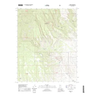
2020 Map of Canada
USGS Topo · Published 2020About this map
The Santa Fe National Forest dominates this section of the Jemez Mountains in Sandoval County, where a complex network of high mesas and deep canyons reveals a landscape shaped by volcanic activity. Notable landforms like Oaks Mesa, Horn Mesa, and Cochiti Mesa are dissected by drainage systems including Medio Dia Canyon and Bland Canyon. The area includes the distinctive geological formations of Tent Rocks, a prominent landmark near the southern forest boundary.
Find a feature on this map
32 named features on this map. Tap any name to fly to it.
Don’t see what you’re looking for? This feature index may not catch every label — zoom into the map to look around manually.
Map Details
Editions of this 2020 Canada Map
This is the sole edition of this map. No revisions or reprints were ever made.
Other maps of this area

1890 · Jemes
USGS Topo · 1:125,000

1892 · Jemes
USGS Topo · 1:125,000

1892 · Santa Clara
USGS Topo · 1:125,000

1937 · Jemez Springs
USGS Topo · 1:48,000

1943 · Jemez
USGS Topo · 1:62,500

1944 · Jemez Springs
USGS Topo · 1:62,500

1952 · Jemez Springs
USGS Topo · 1:62,500

1952 · Frijoles
USGS Topo · 1:24,000

1952 · Jemez
USGS Topo · 1:62,500

1953 · Cochiti Dam
USGS Topo · 1:24,000