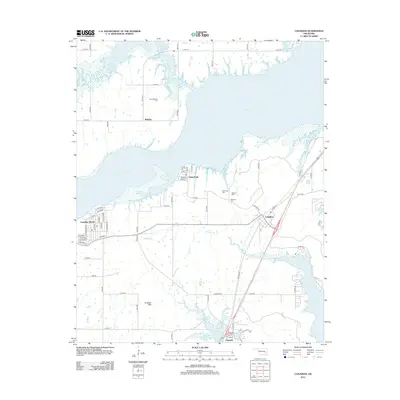
2012 Map of Canadian
USGS Topo · Published 2012About this map
Eufaula Lake dominates the northern and eastern reaches of this Pittsburg County landscape, its expansive shoreline defining the local geography around Canadian and Crowder. This survey documents a developed network of rural roads and residential clusters, including Mellette to the north and the recreational layout of Canadian Shores to the west. Local genealogy is well-preserved through several dedicated sites, such as New Mellette Cem, Masonic Cem, and Red Oak Cem.
Find a feature on this map
60 named features on this map. Tap any name to fly to it.
Don’t see what you’re looking for? This feature index may not catch every label — zoom into the map to look around manually.
Map Details
Editions of this 2012 Canadian Map
This is the sole edition of this map. No revisions or reprints were ever made.
Other maps of this area

1900 · Canadian
USGS Topo · 1:125,000

1946 · Fort Smith
USGS Topo · 1:250,000

1962 · Raiford
USGS Topo · 1:24,000

1963 · Stidham
USGS Topo · 1:24,000

1963 · Eufaula
USGS Topo · 1:24,000

1965 · Fort Smith
USGS Topo · 1:250,000

1967 · Fort Smith
USGS Topo · 1:250,000
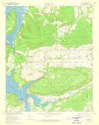
1971 · Blocker
USGS Topo · 1:24,000
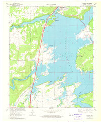
1971 · Crowder
USGS Topo · 1:24,000
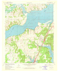
1971 · Canadian
USGS Topo · 1:24,000