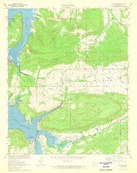
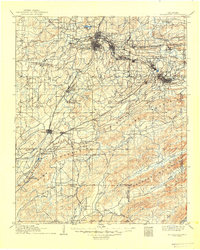
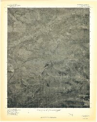
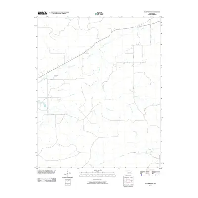
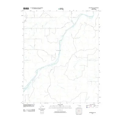
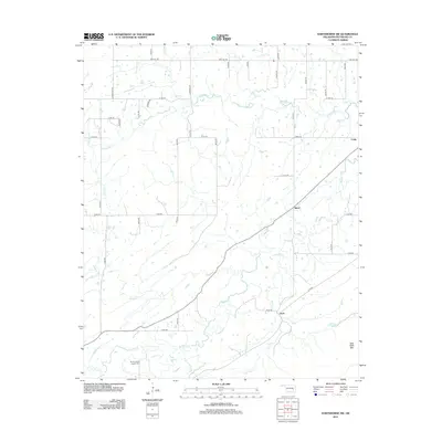
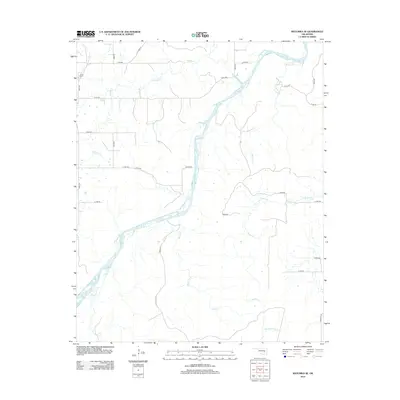
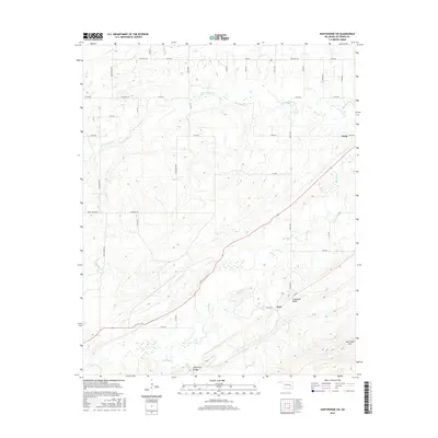
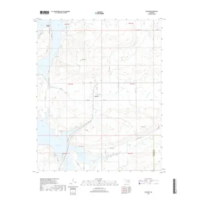
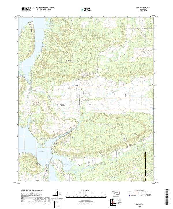
1971 Map of Blocker
USGS Topo · Published 1972About this map
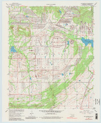
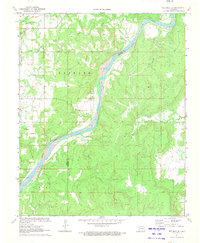
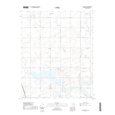
The northern reaches of the Eufaula Reservoir dominate the western landscape of this 1971 survey, where the rising waters have reshaped the mouths of Mathudy Creek and Blue Creek. The small settlement of Blocker serves as the central hub of activity, situated just south of the prominent rising terrain of Scaffold Mountain. This area shows a clear transition in land use, with the eastern half of the quadrangle marked by numerous gas wells and a Quarry, while the western edge transitions into the recreational focus of Elm Point Recreation Area and Bristow Point.
Find a feature on this map
22 named features on this map. Tap any name to fly to it.
Don’t see what you’re looking for? This feature index may not catch every label — zoom into the map to look around manually.
Map Details
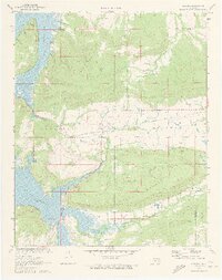
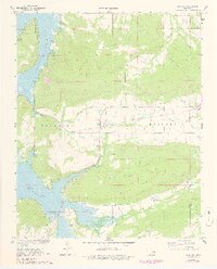
Editions of this 1971 Blocker Map
4 editions found
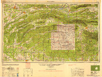
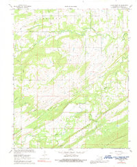
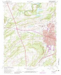
Historical Maps of Blocker Through Time
55 maps found
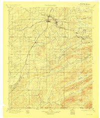
1898 Mc Alester
Pittsburg County, OK
1909 Mc Alester
Pittsburg County, OK
1950 Mcalester
Pittsburg County, OK
1967 Hartshorne SW
Pittsburg County, OK
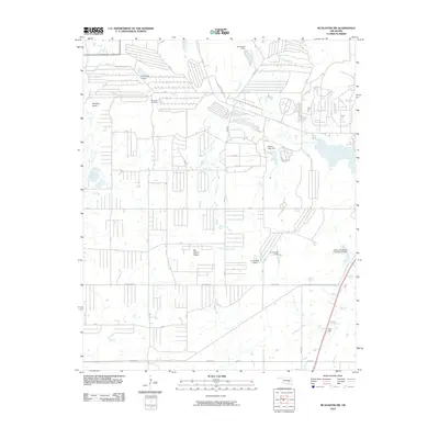
1967 Mc Alester
Pittsburg County, OK
1967 Mc Alester SW
Pittsburg County, OK
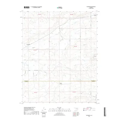
1969 Featherston
Pittsburg County, OK
1971 Blocker
Pittsburg County, OK
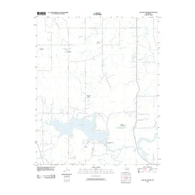
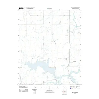
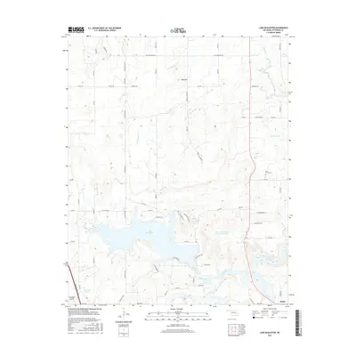
1971 Lake Mc Alester
Pittsburg County, OK
1971 Wetumka SE
Pittsburg County, OK
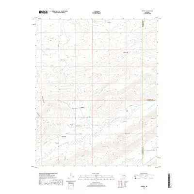
1973 Counts
Pittsburg County, OK
1973 Ti
Pittsburg County, OK
1977 Blocker
Pittsburg County, OK
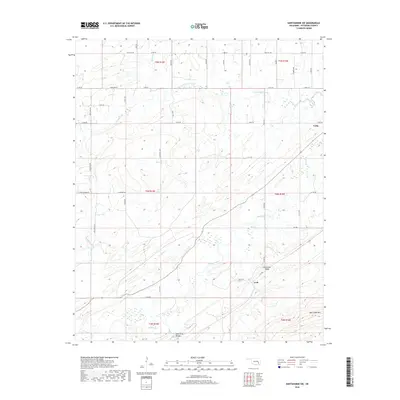
1977 Featherston
Pittsburg County, OK

1991 Mc Alester
Pittsburg County, OK
2009 Counts
Pittsburg County, OK
2009 Hartshorne SW
Pittsburg County, OK
2010 Blocker
Pittsburg County, OK
2010 Featherston
Pittsburg County, OK
2010 Lake McAlester
Pittsburg County, OK
2010 McAlester SW
Pittsburg County, OK
2010 Ti
Pittsburg County, OK
2010 Wetumka SE
Pittsburg County, OK
2012 Blocker
Pittsburg County, OK
2012 Counts
Pittsburg County, OK
2012 Featherston
Pittsburg County, OK
2012 Hartshorne SW
Pittsburg County, OK
2012 Lake McAlester
Pittsburg County, OK
2012 McAlester SW
Pittsburg County, OK
2012 Ti
Pittsburg County, OK
2012 Wetumka SE
Pittsburg County, OK
2016 Blocker
Pittsburg County, OK
2016 Counts
Pittsburg County, OK
2016 Featherston
Pittsburg County, OK
2016 Hartshorne SW
Pittsburg County, OK
2016 Lake McAlester
Pittsburg County, OK
2016 McAlester SW
Pittsburg County, OK
2016 Ti
Pittsburg County, OK

2016 Wetumka SE
Pittsburg County, OK
2018 Blocker
Pittsburg County, OK
2018 Counts
Pittsburg County, OK
2018 Featherston
Pittsburg County, OK
2018 Hartshorne SW
Pittsburg County, OK
2018 Lake McAlester
Pittsburg County, OK
2018 McAlester SW
Pittsburg County, OK
2018 Ti
Pittsburg County, OK
2018 Wetumka SE
Pittsburg County, OK
2022 Blocker
Pittsburg County, OK
2022 Counts
Pittsburg County, OK
2022 Featherston
Pittsburg County, OK
2022 Hartshorne SW
Pittsburg County, OK
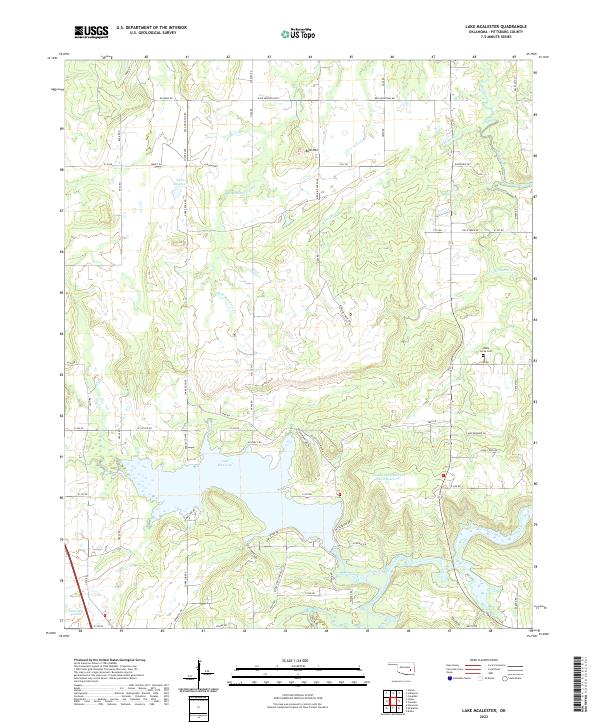
2022 Lake McAlester
Pittsburg County, OK
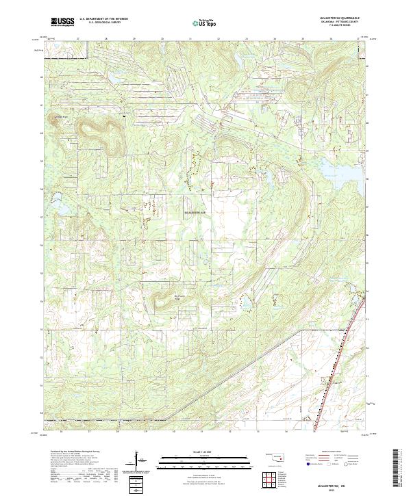
2022 McAlester SW
Pittsburg County, OK
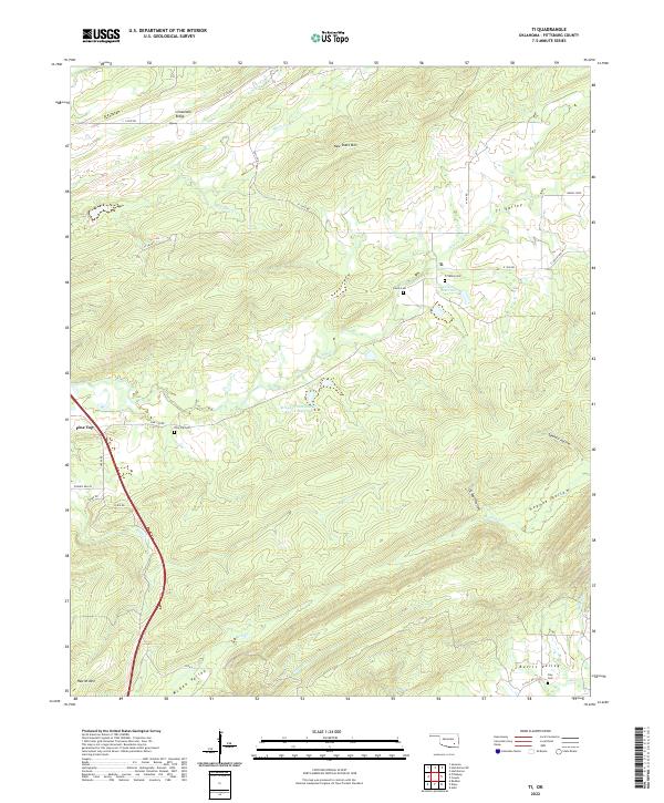
2022 Ti
Pittsburg County, OK
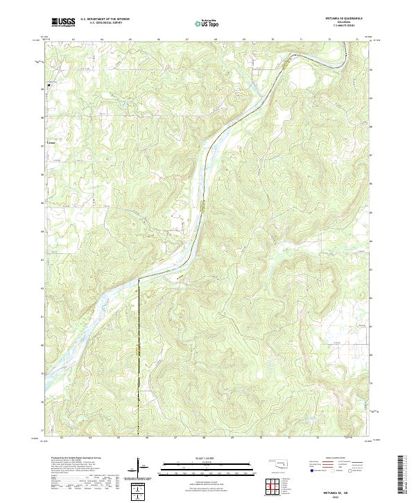
2022 Wetumka SE
Pittsburg County, OK