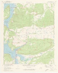
1971 Map of Blocker
USGS Topo · Published 1972About this map
Scaffold Mountain and Blue Mountain dominate this landscape, rising above the sprawling reaches of the Eufaula Reservoir. In the center of the sheet, the small settlement of Blocker serves as a local hub, situated near Blocker Ch and the winding Mathuldy Creek. The impact of modern infrastructure is evident through the path of a prominent Pipeline and the legacy of the Old RR Grade, which traces a path across the Quinton and Canadian districts. Along the reservoir's eastern fingers, Bristow Point and the Elm Point Recreation Area mark the intersection of the rugged upland terrain and the managed waterline. To the south, the village of Quarry and numerous Gas Wells indicate a landscape shaped by resource extraction and energy production near the boundary of Pittsburg Co and Latimer Co.
Find a feature on this map
23 named features on this map. Tap any name to fly to it.
Don’t see what you’re looking for? This feature index may not catch every label — zoom into the map to look around manually.
Map Details
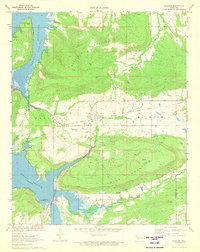
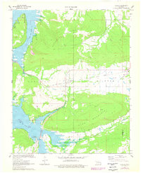
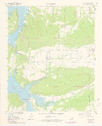
Editions of this 1971 Blocker Map
4 editions found
Other maps of this area

1898 · McAlester
USGS Topo · 1:125,000

1900 · Sansbois
USGS Topo · 1:125,000

1900 · Canadian
USGS Topo · 1:125,000

1901 · Tuskahoma
USGS Topo · 1:125,000

1908 · Tuskahoma
USGS Topo · 1:125,000

1909 · Mc Alester
USGS Topo · 1:125,000

1909 · Tuskahoma
USGS Topo · 1:125,000

1909 · Sans Bois
USGS Topo · 1:125,000

1911 · Sansbois
USGS Topo · 1:125,000

1946 · Fort Smith
USGS Topo · 1:250,000