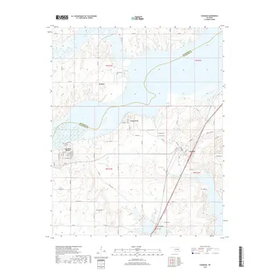
2018 Map of Canadian
USGS Topo · Published 2018About this map
Crowder and Canadian sit at the center of this landscape, where the waters of Eufaula Lake have fundamentally altered the local geography. The lake's expansive reach creates a complex shoreline around Sams Point and Mellette, deeply indenting the terrain where Mill Creek and Gibson Cr once flowed unimpeded. This intersection of land and water is particularly evident in the development of Canadian Shores, where street names like Cheyenne, Sequoyah, and Pottawatomie Rd reflect local history and identity.
Find a feature on this map
49 named features on this map. Tap any name to fly to it.
Don’t see what you’re looking for? This feature index may not catch every label — zoom into the map to look around manually.
Map Details
Editions of this 2018 Canadian Map
This is the sole edition of this map. No revisions or reprints were ever made.
Other maps of this area

1900 · Canadian
USGS Topo · 1:125,000

1946 · Fort Smith
USGS Topo · 1:250,000

1962 · Raiford
USGS Topo · 1:24,000

1963 · Stidham
USGS Topo · 1:24,000

1963 · Eufaula
USGS Topo · 1:24,000

1965 · Fort Smith
USGS Topo · 1:250,000

1967 · Fort Smith
USGS Topo · 1:250,000
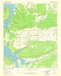
1971 · Blocker
USGS Topo · 1:24,000
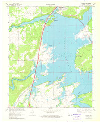
1971 · Crowder
USGS Topo · 1:24,000
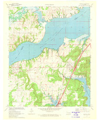
1971 · Canadian
USGS Topo · 1:24,000