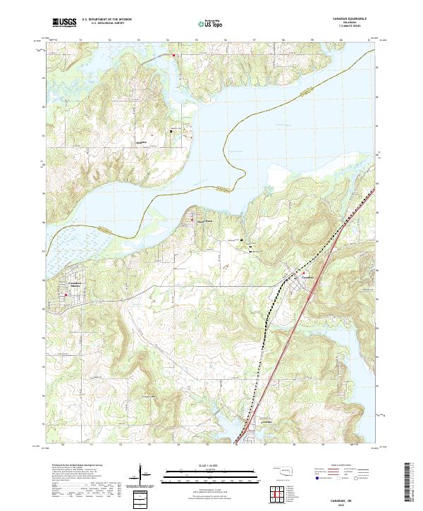
2022 Map of Canadian
USGS Topo · Published 2022About this map
Eufaula Lake dominates the central geography of this region where the Canadian River flows through the borderlands of McIntosh and Pittsburg counties. The settlement of Canadian sits along the eastern shore, positioned near a network of rural routes like d1255 RD and Main St. To the south, the community of Crowder is situated near Crowder Reservoir and the prominent Crowder Mtn, while Canadian Shores occupies a peninsula with streets named after tribal nations, including Cherokee and Kiowa.
Find a feature on this map
56 named features on this map. Tap any name to fly to it.
Don’t see what you’re looking for? This feature index may not catch every label — zoom into the map to look around manually.
Map Details
Editions of this 2022 Canadian Map
This is the sole edition of this map. No revisions or reprints were ever made.
Other maps of this area

1900 · Canadian
USGS Topo · 1:125,000

1946 · Fort Smith
USGS Topo · 1:250,000

1962 · Raiford
USGS Topo · 1:24,000

1963 · Stidham
USGS Topo · 1:24,000

1963 · Eufaula
USGS Topo · 1:24,000

1965 · Fort Smith
USGS Topo · 1:250,000

1967 · Fort Smith
USGS Topo · 1:250,000
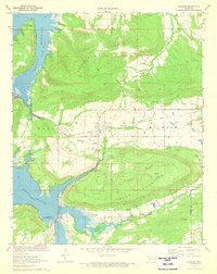
1971 · Blocker
USGS Topo · 1:24,000
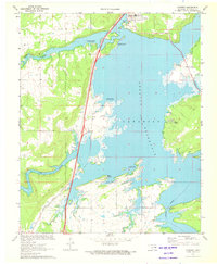
1971 · Crowder
USGS Topo · 1:24,000
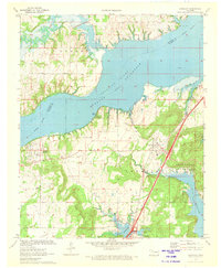
1971 · Canadian
USGS Topo · 1:24,000