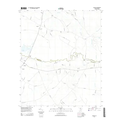
2014 Map of Canadys
USGS Topo · Published 2014About this map
The Edisto River meanders along the border of Dorchester and Colleton Counties, serving as the central geographic feature of this Lowcountry landscape. Small rural communities like Canadys and Grover anchor the region, connected by a network of traditional routes including the Wire RD and Augusta Hwy. The area is notably dense with family and community burial grounds, such as Seigler Cem, Utsey Cem, and Hiott Cem, which provide significant data points for genealogical research in this part of South Carolina.
Find a feature on this map
73 named features on this map. Tap any name to fly to it.
Don’t see what you’re looking for? This feature index may not catch every label — zoom into the map to look around manually.
Map Details
Editions of this 2014 Canadys Map
This is the sole edition of this map. No revisions or reprints were ever made.
Other maps of this area

1918 · Walterboro
USGS Topo · 1:62,500

1918 · Cottageville
USGS Topo · 1:62,500

1919 · Ridgeville
USGS Topo · 1:48,000

1920 · Ridgeville
USGS Topo · 1:62,500

1920 · St. George
USGS Topo · 1:48,000

1921 · St. George
USGS Topo · 1:62,500

1943 · Cottageville
USGS Topo · 1:62,500

1943 · Orangeburg
USGS Topo · 1:125,000

1943 · Walterboro
USGS Topo · 1:62,500

1943 · Ridgeville
USGS Topo · 1:62,500