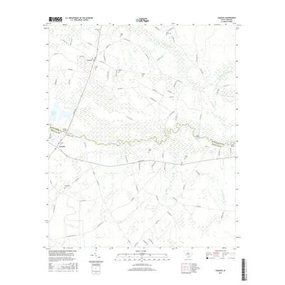
2017 Map of Canadys
USGS Topo · Published 2017About this map
The Edisto River meanders across the Lowcountry border of Dorchester and Colleton counties, defining a landscape shaped by significant wetlands and small rural settlements. Near the community of Canadys, the river is flanked by Serenity Bluff and High Bluff, illustrating the modest elevations that rise above the river's floodplain and Cane Island. North of the river, the settlement of Grover sits near a dense network of family-named burial grounds, including the Westbury Cem, Utsey Cem, and Wallace Cem. The area’s hydrological character is further established by extensive drainages such as Polk Swamp and Indian Field Swamp. This 2017 survey details the enduring rural road network and the integration of infrastructure like the SCE and G Ash Pond within the traditional riverine environment.
Find a feature on this map
86 named features on this map. Tap any name to fly to it.
Don’t see what you’re looking for? This feature index may not catch every label — zoom into the map to look around manually.
Map Details
Editions of this 2017 Canadys Map
This is the sole edition of this map. No revisions or reprints were ever made.
Other maps of this area

1918 · Walterboro
USGS Topo · 1:62,500

1918 · Cottageville
USGS Topo · 1:62,500

1919 · Ridgeville
USGS Topo · 1:48,000

1920 · Ridgeville
USGS Topo · 1:62,500

1920 · St. George
USGS Topo · 1:48,000

1921 · St. George
USGS Topo · 1:62,500

1943 · Cottageville
USGS Topo · 1:62,500

1943 · Orangeburg
USGS Topo · 1:125,000

1943 · Walterboro
USGS Topo · 1:62,500

1943 · Ridgeville
USGS Topo · 1:62,500