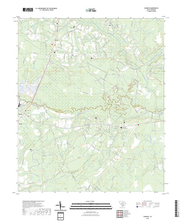
2024 Map of Canadys
USGS Topo · Published 2024About this map
The Edisto River winds along the border of Dorchester Co and Colleton Co, defining a landscape of low-lying swamp and river bluffs. This 2024 survey documents the rural settlements of Grover, Canadys, and Weeks, which are surrounded by numerous family and community cemeteries. The topography is marked by distinctive elevations along the riverbanks, such as Hatteras Bluff, Serenity Bluff, and High Bluff.
Find a feature on this map
88 named features on this map. Tap any name to fly to it.
Don’t see what you’re looking for? This feature index may not catch every label — zoom into the map to look around manually.
Map Details
Editions of this 2024 Canadys Map
This is the sole edition of this map. No revisions or reprints were ever made.
Other maps of this area

1918 · Walterboro
USGS Topo · 1:62,500

1918 · Cottageville
USGS Topo · 1:62,500

1919 · Ridgeville
USGS Topo · 1:48,000

1920 · Ridgeville
USGS Topo · 1:62,500

1920 · St. George
USGS Topo · 1:48,000

1921 · St. George
USGS Topo · 1:62,500

1943 · Cottageville
USGS Topo · 1:62,500

1943 · Orangeburg
USGS Topo · 1:125,000

1943 · Walterboro
USGS Topo · 1:62,500

1943 · Ridgeville
USGS Topo · 1:62,500