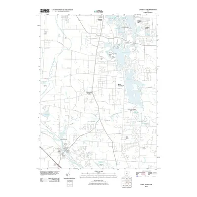
2010 Map of Canal Fulton
USGS Topo · Published 2010About this map
The Canal Fulton area of Summit County is defined by its complex network of industrial waterways and recreational lakes. The presence of the Canal Feeder along the Tuscarawas River speaks to the region's historical reliance on the Ohio and Erie Canal system, while large water bodies like the Nimisila Reservoir and Turkeyfoot Lake dominate the eastern landscape. This era shows the developed suburban character of Manchester and New Franklin, with numerous lakeside developments such as Cottage Grove and Lakeview. Genealogists will find a wealth of burial records across several sites, including Saint Phillips Cemetery, Union Cemetery, and the Old Methodist Cemetery, which mark the original settlement cores of West Fulton and the surrounding townships.
Find a feature on this map
80 named features on this map. Tap any name to fly to it.
Don’t see what you’re looking for? This feature index may not catch every label — zoom into the map to look around manually.
Map Details
Editions of this 2010 Canal Fulton Map
This is the sole edition of this map. No revisions or reprints were ever made.
Other maps of this area

1901 · Massillon
USGS Topo · 1:62,500

1901 · Canton
USGS Topo · 1:62,500

1903 · Massillon
USGS Topo · 1:62,500

1903 · Canton
USGS Topo · 1:62,500

1903 · Akron
USGS Topo · 1:62,500

1905 · Akron
USGS Topo · 1:62,500

1906 · Kent
USGS Topo · 1:62,500

1950 · Cleveland
USGS Topo · 1:250,000

1951 · Canton
USGS Topo · 1:250,000

1953 · Canton
USGS Topo · 1:250,000