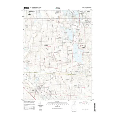
2013 Map of Canal Fulton
USGS Topo · Published 2013About this map
Canal Fulton sits at the heart of this topographic study, where the historic path of the Tuscarawas River and the Canal Feeder define the local geography. The landscape transitions from the dense water networks of the Portage Lakes and Nimisila Reservoir in the north and east to the agricultural and residential corridors of Manchester and New Franklin. This area of Summit and Stark counties is characterized by its early industrial and transport heritage, evident in the names of old family-related locations like Lockwood Corners and various agricultural sites such as Hill Farms and Flight Path Farms.
Find a feature on this map
263 named features on this map. Tap any name to fly to it.
Don’t see what you’re looking for? This feature index may not catch every label — zoom into the map to look around manually.
Map Details
Editions of this 2013 Canal Fulton Map
This is the sole edition of this map. No revisions or reprints were ever made.
Other maps of this area

1901 · Massillon
USGS Topo · 1:62,500

1901 · Canton
USGS Topo · 1:62,500

1903 · Massillon
USGS Topo · 1:62,500

1903 · Canton
USGS Topo · 1:62,500

1903 · Akron
USGS Topo · 1:62,500

1905 · Akron
USGS Topo · 1:62,500

1906 · Kent
USGS Topo · 1:62,500

1950 · Cleveland
USGS Topo · 1:250,000

1951 · Canton
USGS Topo · 1:250,000

1953 · Canton
USGS Topo · 1:250,000