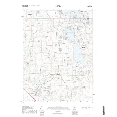
2019 Map of Canal Fulton
USGS Topo · Published 2019About this map
Canal Fulton sits at the intersection of early Ohio transportation and modern suburban growth, where the historic Tuscarawas River and Canal Feeder meet. This survey captures a landscape defined by its numerous water bodies, ranging from the large Nimisila Reservoir to the smaller Luna Lake, Comet Lake, and Rex Lake. The settlement patterns of New Franklin, Green, and Manchester show the dense network of residential development surrounding the Portage Lakes area.
Find a feature on this map
113 named features on this map. Tap any name to fly to it.
Don’t see what you’re looking for? This feature index may not catch every label — zoom into the map to look around manually.
Map Details
Editions of this 2019 Canal Fulton Map
This is the sole edition of this map. No revisions or reprints were ever made.
Other maps of this area

1901 · Massillon
USGS Topo · 1:62,500

1901 · Canton
USGS Topo · 1:62,500

1903 · Massillon
USGS Topo · 1:62,500

1903 · Canton
USGS Topo · 1:62,500

1903 · Akron
USGS Topo · 1:62,500

1905 · Akron
USGS Topo · 1:62,500

1906 · Kent
USGS Topo · 1:62,500

1950 · Cleveland
USGS Topo · 1:250,000

1951 · Canton
USGS Topo · 1:250,000

1953 · Canton
USGS Topo · 1:250,000