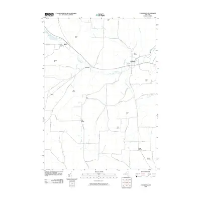
2010 Map of Canaseraga
USGS Topo · Published 2010About this map
Canaseraga Creek and its tributary Swain Creek define the drainage patterns of this rural Allegany County landscape. The village of Canaseraga serves as the primary hub, where local history is preserved at Saint Marys Cemetery and Canaseraga Cemetery. Small outlying hamlets and crossroads such as Swain, Garwoods, and Mastin Corners reflect the area's agricultural and small-town foundations. The terrain is marked by significant rises including Tildon Hill and Miller Hill, with deep cuts like Hovey Gully and Belle Hollow shaping the local road network.
Find a feature on this map
66 named features on this map. Tap any name to fly to it.
Don’t see what you’re looking for? This feature index may not catch every label — zoom into the map to look around manually.
Map Details
Editions of this 2010 Canaseraga Map
This is the sole edition of this map. No revisions or reprints were ever made.
Other maps of this area

1902 · Wayland
USGS Topo · 1:62,500

1904 · Wayland
USGS Topo · 1:62,500

1905 · Nunda
USGS Topo · 1:62,500

1915 · Hornell
USGS Topo · 1:62,500

1916 · Canaseraga
USGS Topo · 1:62,500

1918 · Hornell
USGS Topo · 1:62,500

1940 · Canaseraga
USGS Topo · 1:62,500

1942 · Dansville
USGS Topo · 1:31,680

1943 · Nunda
USGS Topo · 1:24,000

1943 · Ossian
USGS Topo · 1:24,000